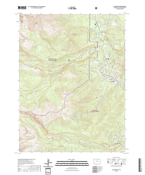
2022 Map of Allenspark
USGS Topo · Published 2022About this map
The high-altitude landscape of Rocky Mountain National Park and Roosevelt National Forest dominates this modern topographical study of Boulder County. The eastern slopes of the Front Range are anchored by the massive bulk of Mt Meeker and Pagoda Mtn, with the Copeland Moraine revealing the complex glacial history of the Wild Basin area. Small communities such as Allenspark, Ferncliff, and Peaceful Valley follow the winding corridor of the Peak To Peak Scenic Byway, where modern infrastructure meets historical sites like the Bunce School.
Find a feature on this map
95 named features on this map. Tap any name to fly to it.
Don’t see what you’re looking for? This feature index may not catch every label — zoom into the map to look around manually.
Map Details
Editions of this 2022 Allenspark Map
This is the sole edition of this map. No revisions or reprints were ever made.
Other maps of this area

1902 · Boulder
USGS Topo · 1:62,500

1904 · Boulder
USGS Topo · 1:62,500

1905 · Mount Olympus
USGS Topo · 1:62,500

1907 · Mount Olympus
USGS Topo · 1:62,500

1915 · Longs Peak
USGS Topo · 1:125,000

1919 · Rocky Mountain National Park
USGS Topo · 1:125,000

1954 · Greeley
USGS Topo · 1:250,000

1957 · Greeley
USGS Topo · 1:250,000

1957 · Mc Henrys Peak
USGS Topo · 1:24,000

1957 · Allens Park
USGS Topo · 1:24,000