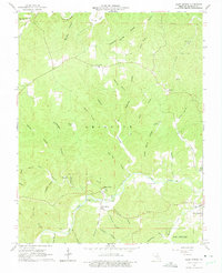
1965 Map of Alley Spring
USGS Topo · Published 1975About this map
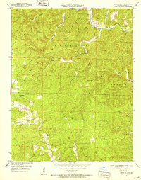
Alley Spring State Park serves as the focal point for this mid-1960s survey of the Ozark landscape, where the cold waters of Alley Spring join the Jacks Fork river. The topography is defined by a dense network of timbered ridges and deep valleys, including Pistol Barrel Hollow and Possum Trot Hollow. Settlement patterns are concentrated at West Eminence and small upland communities like Flatwood. Genealogists may find interest in the scattered burial grounds such as Culpepper Cem and Grassy Hollow Cem, which are tucked away near the winding courses of Storys Creek and Grassy Creek. The presence of the Eminence Landing Strip and the Eminence Sch near the town boundaries indicates the regional importance of this river-centered hub during the post-war era.
Find a feature on this map
47 named features on this map. Tap any name to fly to it.
Don’t see what you’re looking for? This feature index may not catch every label — zoom into the map to look around manually.
Map Details
Editions of this 1965 Alley Spring Map
4 editions found
Other maps of this area

1915 · Eminence
USGS Topo · 1:62,500

1917 · Eminence
USGS Topo · 1:62,500

1932 · Cedar Grove
USGS Topo · 1:48,000

1945 · Round Spring
USGS Topo · 1:62,500

1946 · Summersville
USGS Topo · 1:62,500

1947 · Sinkin
USGS Topo · 1:48,000

1948 · Summersville
USGS Topo · 1:62,500

1949 · Round Spring
USGS Topo · 1:62,500

1949 · Rolla
USGS Topo · 1:250,000
1951 · Lewis Hollow
USGS Topo · 1:24,000