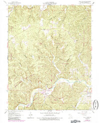
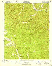
1965 Map of Alley Spring
USGS Topo · Published 1985About this map
Alley Spring and the winding Jacks Fork river system dominate this Shannon County landscape, centered on a region transitioning into protected recreational space. The map illustrates the Ozark Highlands' intricate drainage patterns, where dozens of named hollows like Dripping Spring Hollow and Possum Trot Hollow funnel into the larger waterways. Settlement is concentrated toward the southeast at West Eminence, where the Eminence School and local infrastructure appear near the confluence of Mahans Creek and the river. Significant portions of the quadrangle are dedicated to timber and conservation, including the Alley Spring State Forest and Clow State Forest. Smaller, perhaps now-obscure locales such as Flatwood and Venice are documented alongside local landmarks like the Culpepper Cemetery and Beason Cave. This 1965 survey, with 1980s updates, captures the rural Missouri interior as the Ozark National Scenic Riverways began to define the local economy and land use.
Find a feature on this map
50 named features on this map. Tap any name to fly to it.
Don’t see what you’re looking for? This feature index may not catch every label — zoom into the map to look around manually.
Map Details
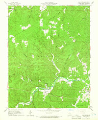
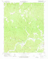
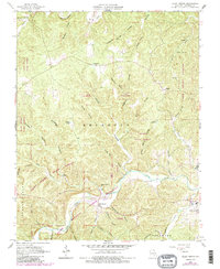
Editions of this 1965 Alley Spring Map
4 editions found
Other maps of this area

1915 · Eminence
USGS Topo · 1:62,500

1917 · Eminence
USGS Topo · 1:62,500

1932 · Cedar Grove
USGS Topo · 1:48,000

1945 · Round Spring
USGS Topo · 1:62,500

1946 · Summersville
USGS Topo · 1:62,500

1947 · Sinkin
USGS Topo · 1:48,000

1948 · Summersville
USGS Topo · 1:62,500

1949 · Round Spring
USGS Topo · 1:62,500

1949 · Rolla
USGS Topo · 1:250,000
1951 · Lewis Hollow
USGS Topo · 1:24,000