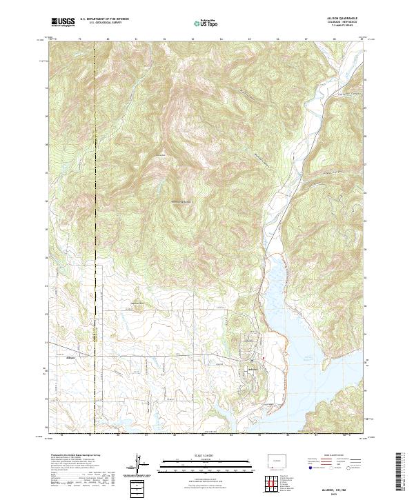
2022 Map of Allison
USGS Topo · Published 2022About this map
Arboles and Allison anchor the southwestern corner of Archuleta County, where the high desert terrain of the Southern Ute reservation meets the expansive waters of the Navajo Reservoir. This modern U.S. Geological Survey representation details a landscape defined by sharp elevation shifts and water management, where the Piedra River carves through canyons like Black Horse Canyon and Payan Canyon before reaching the reservoir. The influence of agricultural history is evident in the network of irrigation channels, including the Miller Ditch and Darlington Ditch, which parallel the natural drainage of Sambrito Creek. Prominent landmarks such as Piedra Peak and Haystack Mtn provide vertical relief against the winding road network of Co RD 973 and Trujillo Rd. Recreational development is noted near the shoreline with the Watchable Wildlife Overlook Trl and Deer Park, illustrating the region's contemporary character as both a working landscape and a public refuge.
Find a feature on this map
59 named features on this map. Tap any name to fly to it.
Don’t see what you’re looking for? This feature index may not catch every label — zoom into the map to look around manually.
Map Details
Editions of this 2022 Allison Map
This is the sole edition of this map. No revisions or reprints were ever made.
Other maps of this area

1889 · Largo
USGS Topo · 1:250,000

1895 · Largo
USGS Topo · 1:250,000

1908 · Ignacio
USGS Topo · 1:125,000

1924 · Ignacio
USGS Topo · 1:125,000

1924 · Pagosa Springs
USGS Topo · 1:125,000

1927 · Pagosa Springs
USGS Topo · 1:125,000

1945 · Durango
USGS Topo · 1:250,000

1953 · Durango
USGS Topo · 1:250,000

1954 · Durango
USGS Topo · 1:250,000

1954 · Allison
USGS Topo · 1:24,000