Loading...
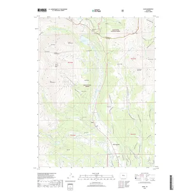
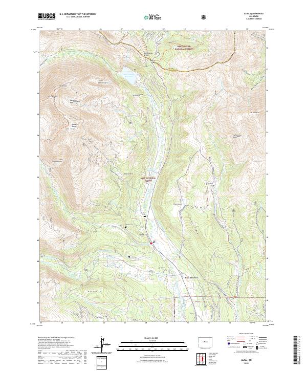
Loading map...1970 Map of Alma
USGS Topo · Published 1973About this map
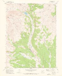
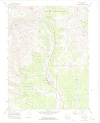
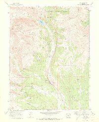
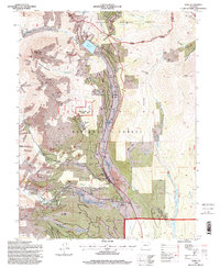
The high alpine mining district of the Continental Divide is meticulously detailed in this 1970 field-checked survey. Centered on Alma, the map documents an era of significant mineral extraction and water management. High-elevation settlements and mining camps are identified, including the locations of Dudley and Quartzville, along with Park City. These communities supported massive operations like the Sweet Home Mine, Buckskin Joe Mine, and Dolly Varden Mine.
Find a feature on this map
76 named features on this map. Tap any name to fly to it.
Don’t see what you’re looking for? This feature index may not catch every label — zoom into the map to look around manually.
Map Details
Date Portrayed1970
Date Published1973
PublisherU.S. Geological Survey
Map TypeTopographic
Scale1:24,000
Physical Dimensions21.94 x 26.99 inches
Editions of this 1970 Alma Map
4 editions found
Historical Maps of Alma Through Time
7 maps found
Featured Locations
Source Details
SourceU.S. Geological Survey
CopyrightPublic Domain