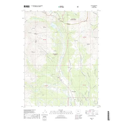
2019 Map of Alma
USGS Topo · Published 2019About this map
Alma and the surrounding high-altitude terrain of the Mosquito Range anchor this 2019 study of Park County. The landscape is defined by its mining-era heritage and water management systems, including the complex Columbia Number 1 Ditch, Mosquito Cr Ditch, and Dyer Placer Ditch. Evidence of early settlement is preserved in three distinct burial grounds: Buckskin Cem, Park City Cem, and Dudley Cem, which speak to the pioneer families and laborers who once worked the gulches. Dramatic natural features like Mt Lincoln, Mt Bross, and the Lincoln Amphitheatre rise above the Middle Fork South Platte River, while modern recreational use is evidenced by the Wheeler Nat Rec Trail and the extensive Silverheels Snowmobile routes. The map provides a detailed view of the high-country transition from the White River National Forest to the Pike National Forest, intersecting at the Continental Divide.
Find a feature on this map
77 named features on this map. Tap any name to fly to it.
Don’t see what you’re looking for? This feature index may not catch every label — zoom into the map to look around manually.
Map Details
Editions of this 2019 Alma Map
This is the sole edition of this map. No revisions or reprints were ever made.
Other maps of this area

1889 · Leadville
USGS Topo · 1:125,000

1891 · Leadville
USGS Topo · 1:125,000

1934 · Climax
USGS Topo · 1:48,000

1937 · Como
USGS Topo · 1:62,500

1938 · Mt. Lincoln
USGS Topo · 1:48,000

1942 · Leadville
USGS Topo · 1:125,000

1945 · Mount Lincoln
USGS Topo · 1:62,500

1953 · Denver
USGS Topo · 1:250,000

1956 · Fairplay East
USGS Topo · 1:24,000

1957 · Denver
USGS Topo · 1:250,000