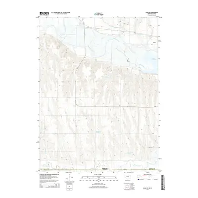
2014 Map of Alma SW
USGS Topo · Published 2014About this map
The Republican River and its complex network of tributaries dominate this landscape on the border of Nebraska and Kansas, south of Alma. The terrain is defined by the intersection of natural waterways like Sappa Cr and Flag Cr with mid-century agricultural infrastructure, including the Cambridge Canal. Significant water management is evident through several named catchments such as Haeker Reservoir and Bantom-Coe Reservoir, which support the rural landscape. To the east, the map captures the western edge of Harlan County Lake, a major regional feature that transformed the local geography. This 2014 survey documents the enduring agricultural character of the region, where roads like Ne-89 and W Arrow RD navigate the rolling drainage basins between Prairie Dog Cr and the river valley.
Find a feature on this map
21 named features on this map. Tap any name to fly to it.
Don’t see what you’re looking for? This feature index may not catch every label — zoom into the map to look around manually.
Map Details
Editions of this 2014 Alma SW Map
This is the sole edition of this map. No revisions or reprints were ever made.
Other maps of this area

1893 · Norton
USGS Topo · 1:125,000

1893 · Phillipsburg
USGS Topo · 1:125,000

1896 · Holdrege
USGS Topo · 1:125,000

1896 · Arapahoe
USGS Topo · 1:125,000

1898 · Arapahoe
USGS Topo · 1:125,000

1955 · Grand Island
USGS Topo · 1:250,000

1955 · Beloit
USGS Topo · 1:250,000

1957 · Grand Island
USGS Topo · 1:250,000

1957 · Stamford SE
USGS Topo · 1:24,000

1958 · Grand Island
USGS Topo · 1:250,000