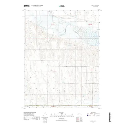
2017 Map of Alma SW
USGS Topo · Published 2017About this map
The Republican River serves as the dominant geographic feature of this 2017 survey, winding through the northern portion of the quadrangle just south of Orleans and Alma. This river corridor is a site of significant water management, evidenced by the expansive Harlan County Lake and the engineered Cambridge Canal. The terrain transitions from the river valley to the dissected uplands of southern Harlan County, characterized by a network of drainage systems like Sappa Cr, Flag Cr, and Prairie Dog Cr.
Find a feature on this map
44 named features on this map. Tap any name to fly to it.
Don’t see what you’re looking for? This feature index may not catch every label — zoom into the map to look around manually.
Map Details
Editions of this 2017 Alma SW Map
This is the sole edition of this map. No revisions or reprints were ever made.
Other maps of this area

1893 · Norton
USGS Topo · 1:125,000

1893 · Phillipsburg
USGS Topo · 1:125,000

1896 · Holdrege
USGS Topo · 1:125,000

1896 · Arapahoe
USGS Topo · 1:125,000

1898 · Arapahoe
USGS Topo · 1:125,000

1955 · Grand Island
USGS Topo · 1:250,000

1955 · Beloit
USGS Topo · 1:250,000

1957 · Grand Island
USGS Topo · 1:250,000

1957 · Stamford SE
USGS Topo · 1:24,000

1958 · Grand Island
USGS Topo · 1:250,000