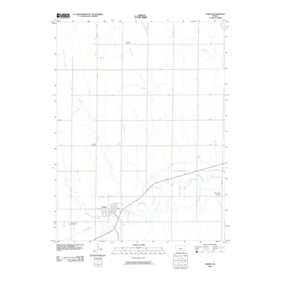
2009 Map of Almena
USGS Topo · Published 2009About this map
Almena serves as the central hub of this North Central Kansas landscape, situated near the confluence of Prairie Dog Creek and its North Fork. The town's grid is anchored by Main St and Pratt Ave, while the surrounding countryside is organized by a strict section-line road network. This rural topography is defined by the drainage patterns of numerous north-flowing tributaries including Maple Creek, Fancy Creek, and Sand Creek, which carve gentle draws through the agricultural land.
Find a feature on this map
34 named features on this map. Tap any name to fly to it.
Don’t see what you’re looking for? This feature index may not catch every label — zoom into the map to look around manually.
Map Details
Editions of this 2009 Almena Map
This is the sole edition of this map. No revisions or reprints were ever made.
Other maps of this area

1893 · Norton
USGS Topo · 1:125,000

1896 · Arapahoe
USGS Topo · 1:125,000

1898 · Arapahoe
USGS Topo · 1:125,000

1951 · Norton
USGS Topo · 1:62,500

1955 · Grand Island
USGS Topo · 1:250,000

1955 · Beloit
USGS Topo · 1:250,000

1957 · Grand Island
USGS Topo · 1:250,000

1957 · Precept
USGS Topo · 1:24,000

1957 · Beaver City SE
USGS Topo · 1:24,000

1957 · Stamford SE
USGS Topo · 1:24,000