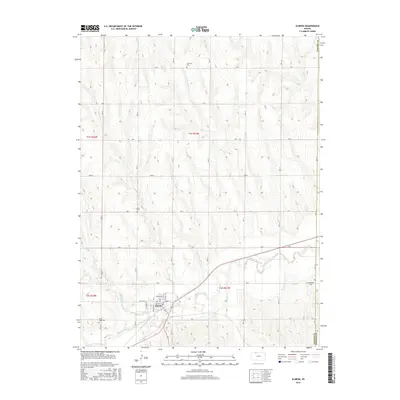
2016 Map of Almena
USGS Topo · Published 2016About this map
Almena serves as the primary hub in this portion of Norton County, where a grid of local streets including Main St and Benton St meets the southern bank of Prairie Dog Cr. The landscape is defined by the dendritic drainage patterns of several creeks, including Maple Cr, Fancy Cr, and Sand Cr, which carve through the plains to feed the larger valley. The distribution of rural landmarks reflects a long-established community, with Fairview Cem to the north and Mount Hope Cem to the southwest providing critical touchpoints for genealogical research. The border between Norton County and Phillips County is visible on the eastern edge, near Farmingdale Cem, marking the intersection of these two agricultural regions. A network of rural roads such as Rd B and Rd G connects the outlying farmsteads to the town center.
Find a feature on this map
32 named features on this map. Tap any name to fly to it.
Don’t see what you’re looking for? This feature index may not catch every label — zoom into the map to look around manually.
Map Details
Editions of this 2016 Almena Map
This is the sole edition of this map. No revisions or reprints were ever made.
Other maps of this area

1893 · Norton
USGS Topo · 1:125,000

1896 · Arapahoe
USGS Topo · 1:125,000

1898 · Arapahoe
USGS Topo · 1:125,000

1951 · Norton
USGS Topo · 1:62,500

1955 · Grand Island
USGS Topo · 1:250,000

1955 · Beloit
USGS Topo · 1:250,000

1957 · Grand Island
USGS Topo · 1:250,000

1957 · Precept
USGS Topo · 1:24,000

1957 · Beaver City SE
USGS Topo · 1:24,000

1957 · Stamford SE
USGS Topo · 1:24,000