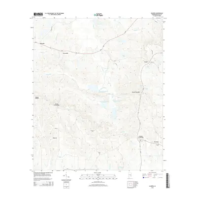
2014 Map of Almeria
USGS Topo · Published 2014About this map
Bughall Cr and Mountain Cr flow through this section of Bullock County, a landscape defined by small rural hubs and a network of named lakes and tributaries. The area around Almeria and Inverness shows a pattern of crossroads communities connected by county routes, where local heritage is preserved in sites like High Ridge Cem and Liberty Cem. Higher elevations like Bread Tray Hill overlook several man-made water features, including a series of numbered reservoirs such as Old Town Creek Watershed Lake Number 25. These water management features, alongside larger bodies like Henderson Lake and Paulk Lake, reflect the region's agricultural and conservation needs in the early 21st century. The map provides a detailed record of land use near Bruceville and Sardis, tracing the roads and creek lines that have anchored these Alabama communities for generations.
Find a feature on this map
53 named features on this map. Tap any name to fly to it.
Don’t see what you’re looking for? This feature index may not catch every label — zoom into the map to look around manually.
Map Details
Editions of this 2014 Almeria Map
This is the sole edition of this map. No revisions or reprints were ever made.
Other maps of this area

1953 · Dothan
USGS Topo · 1:250,000

1954 · Dothan
USGS Topo · 1:250,000

1955 · Dothan
USGS Topo · 1:250,000

1955 · Phenix City
USGS Topo · 1:250,000

1957 · Phenix City
USGS Topo · 1:250,000

1958 · Phenix City
USGS Topo · 1:250,000

1968 · Perote
USGS Topo · 1:24,000
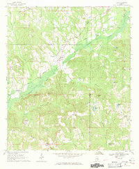
1968 · Saco
USGS Topo · 1:24,000
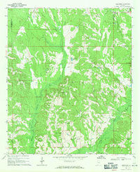
1968 · Needmore
USGS Topo · 1:24,000
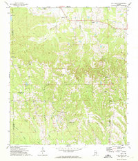
1971 · China Grove
USGS Topo · 1:24,000