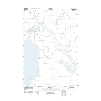
2011 Map of Aloha
USGS Topo · Published 2011About this map
The eastern shore of Mullett Lake defines this portion of Cheboygan County, where the settlement of Aloha sits as a primary lakeside point of interest. The landscape is heavily influenced by the drainage patterns of the Cheboygan River and the Black River, which wind through the northern and eastern sections of the quadrangle. Significant local history is preserved in several rural burial grounds, including Calvary Cemetery near the riverbanks and the Owens Cemetery further inland. Small communities like Orchard Beach and Alverno are connected by a grid of local routes such as Orchard Beach RD and S River RD. This survey also documents the conservation and recreation areas that characterize the region, notably Mullett Lake Woods and the Waterways Campground near Strawberry Island. Inland water bodies like Long Lake further underscore the lake-and-river network that has shaped the area's development and recreational appeal.
Find a feature on this map
89 named features on this map. Tap any name to fly to it.
Don’t see what you’re looking for? This feature index may not catch every label — zoom into the map to look around manually.
Map Details
Editions of this 2011 Aloha Map
This is the sole edition of this map. No revisions or reprints were ever made.
Other maps of this area

1955 · Cheboygan
USGS Topo · 1:250,000

1957 · Tower
USGS Topo · 1:62,500

1957 · Wolverine
USGS Topo · 1:62,500

1957 · Cheboygan
USGS Topo · 1:62,500

1957 · Mullett Lake
USGS Topo · 1:62,500

1958 · Cheboygan
USGS Topo · 1:250,000

1982 · Petoskey
USGS Topo · 1:100,000

1982 · Cordwood Point
USGS Topo · 1:25,000

1982 · Cheboygan
USGS Topo · 1:25,000

1982 · Point Nipigon
USGS Topo · 1:25,000