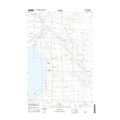
2014 Map of Aloha
USGS Topo · Published 2014About this map
Mullett Lake defines the western edge of this northern Michigan landscape, where the settlements of Aloha and Orchard Beach line the eastern shore. The geography is characterized by the convergence of major waterways, including the Cheboygan River and the Black River, which wind through the township towards the lake. These rivers create a network of low-lying areas and islands, most notably Strawberry Island and Snake Island.
Find a feature on this map
106 named features on this map. Tap any name to fly to it.
Don’t see what you’re looking for? This feature index may not catch every label — zoom into the map to look around manually.
Map Details
Editions of this 2014 Aloha Map
This is the sole edition of this map. No revisions or reprints were ever made.
Other maps of this area

1955 · Cheboygan
USGS Topo · 1:250,000

1957 · Tower
USGS Topo · 1:62,500

1957 · Wolverine
USGS Topo · 1:62,500

1957 · Cheboygan
USGS Topo · 1:62,500

1957 · Mullett Lake
USGS Topo · 1:62,500

1958 · Cheboygan
USGS Topo · 1:250,000

1982 · Petoskey
USGS Topo · 1:100,000

1982 · Cordwood Point
USGS Topo · 1:25,000

1982 · Cheboygan
USGS Topo · 1:25,000

1982 · Point Nipigon
USGS Topo · 1:25,000