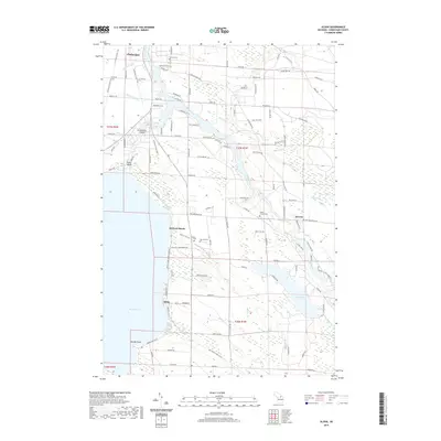
2019 Map of Aloha
USGS Topo · Published 2019About this map
Mullett Lake and its intricate eastern shoreline dominate this survey of Cheboygan County, revealing a landscape defined by the convergence of major waterways. The town of Cheboygan sits at the northern edge where the Cheboygan River flows toward the Great Lakes, while the Black River winds through the central portion of the quadrangle before meeting the Alverno Swamp. Small lakeside communities like Aloha and Orchard Beach mark the western water edge, linked by the N Central State Trail and N Eastern State Trail, which occupy former railroad corridors.
Find a feature on this map
112 named features on this map. Tap any name to fly to it.
Don’t see what you’re looking for? This feature index may not catch every label — zoom into the map to look around manually.
Map Details
Editions of this 2019 Aloha Map
This is the sole edition of this map. No revisions or reprints were ever made.
Other maps of this area

1955 · Cheboygan
USGS Topo · 1:250,000

1957 · Tower
USGS Topo · 1:62,500

1957 · Wolverine
USGS Topo · 1:62,500

1957 · Cheboygan
USGS Topo · 1:62,500

1957 · Mullett Lake
USGS Topo · 1:62,500

1958 · Cheboygan
USGS Topo · 1:250,000

1982 · Petoskey
USGS Topo · 1:100,000

1982 · Cordwood Point
USGS Topo · 1:25,000

1982 · Cheboygan
USGS Topo · 1:25,000

1982 · Point Nipigon
USGS Topo · 1:25,000