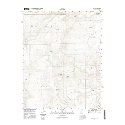
2017 Map of Alps Mesa
USGS Topo · Published 2017About this map
The Colorado and New Mexico state line bisects this high-elevation landscape, where the plateau country of Las Animas County meets Union County. The terrain is characterized by a series of prominent mesas and deep drainages, with the expansive Alps Mesa and Umbrella Mesa dominating the central topography. Water sources are sparse but significant in this arid environment, marked by Wheeler Springs near the northern boundary and Starr Spring situated between Starr Canyon and Oak Creek.
Find a feature on this map
31 named features on this map. Tap any name to fly to it.
Don’t see what you’re looking for? This feature index may not catch every label — zoom into the map to look around manually.
Map Details
Editions of this 2017 Alps Mesa Map
This is the sole edition of this map. No revisions or reprints were ever made.
Other maps of this area

1891 · Mesa De Maya
USGS Topo · 1:125,000

1892 · Elmoro
USGS Topo · 1:125,000

1893 · Elmoro
USGS Topo · 1:125,000

1893 · Mesa de Maya
USGS Topo · 1:125,000

1897 · Elmoro
USGS Topo · 1:125,000

1954 · Raton
USGS Topo · 1:250,000

1954 · Trinidad
USGS Topo · 1:250,000

1954 · Dalhart
USGS Topo · 1:250,000

1955 · La Junta
USGS Topo · 1:250,000

1955 · Trinidad
USGS Topo · 1:250,000