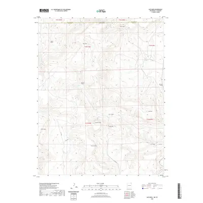
2020 Map of Alps Mesa
USGS Topo · Published 2020About this map
Alps Mesa dominates this high-altitude landscape along the border of Colorado and New Mexico, where the plains give way to a series of distinctive landforms. The terrain is defined by broad, flat-topped mesas like Klondike Mesa and Umbrella Mesa, separated by deep drainage systems such as Sawmill Canyon and Toll Gate Canyon. Water sources are critical but scarce in this arid environment, represented by the named Wheeler Springs near the northern boundary and Starr Spring further south. The presence of Hoodoo Mtn suggests a landscape of unique geological erosion, while various county roads, including Co RD 8033, provide modern access to these remote reaches of Las Animas Co. The map illustrates a complex network of seasonal watercourses like Trementina Cr and Chaney Arroyo, which have carved out the Tijeras Rincon and other topographical features that define the region's character.
Find a feature on this map
31 named features on this map. Tap any name to fly to it.
Don’t see what you’re looking for? This feature index may not catch every label — zoom into the map to look around manually.
Map Details
Editions of this 2020 Alps Mesa Map
This is the sole edition of this map. No revisions or reprints were ever made.
Other maps of this area

1891 · Mesa De Maya
USGS Topo · 1:125,000

1892 · Elmoro
USGS Topo · 1:125,000

1893 · Elmoro
USGS Topo · 1:125,000

1893 · Mesa de Maya
USGS Topo · 1:125,000

1897 · Elmoro
USGS Topo · 1:125,000

1954 · Raton
USGS Topo · 1:250,000

1954 · Trinidad
USGS Topo · 1:250,000

1954 · Dalhart
USGS Topo · 1:250,000

1955 · La Junta
USGS Topo · 1:250,000

1955 · Trinidad
USGS Topo · 1:250,000