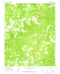
1965 Map of Alread
USGS Topo · Published 1966About this map
The boundary between Searcy and Van Buren Counties bisects this mid-1960s landscape, where small agricultural settlements and isolated churches are dispersed across a topography of ridges and hollows. Alread and Rupert anchor the southern portion of the map, while Copeland sits near the eastern edge, connected by unimproved dirt roads and light-duty routes. The area is defined by its numerous community landmarks, such as Trace Ridge Ch and Liberty Ch, which likely served as focal points for the surrounding rural families.
Find a feature on this map
38 named features on this map. Tap any name to fly to it.
Don’t see what you’re looking for? This feature index may not catch every label — zoom into the map to look around manually.
Map Details
Editions of this 1965 Alread Map
2 editions found
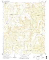
Other maps of this area

1879 · Washington
USGS Topo · 1:62,500

1887 · Smyrna
USGS Topo · 1:62,500

1889 · Marshall #3
USGS Topo · 1:62,500

1892 · Marshall
USGS Topo · 1:125,000

1894 · Marshall
USGS Topo · 1:125,000

1901 · Marshall
USGS Topo · 1:125,000

1939 · Snowball
USGS Topo · 1:62,500

1940 · Smyrna
USGS Topo · 1:62,500

1941 · Snowball
USGS Topo · 1:62,500

1942 · Snowball
USGS Topo · 1:62,500