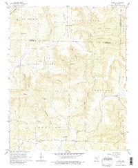
1965 Map of Alread
USGS Topo · Published 1980About this map
Alread and Rupert anchor the southern edge of this mid-1960s Ozark survey, where the border between Searcy and Van Buren counties winds through a landscape of ridges and hollows. The area is defined by a traditional settlement pattern where social life centered on small country churches and family landmarks, such as Pleasant Grove Ch and the high point at Reves Knob. Settlement follows the watercourses and ridges, with communities like Chimes and Copeland positioned near the headwaters of Archey Creek and its many tributaries, including Dollar Hollow and Rattlesnake Hollow.
Find a feature on this map
35 named features on this map. Tap any name to fly to it.
Don’t see what you’re looking for? This feature index may not catch every label — zoom into the map to look around manually.
Map Details
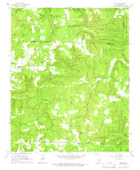
Editions of this 1965 Alread Map
2 editions found
Other maps of this area

1879 · Washington
USGS Topo · 1:62,500

1887 · Smyrna
USGS Topo · 1:62,500

1889 · Marshall #3
USGS Topo · 1:62,500

1892 · Marshall
USGS Topo · 1:125,000

1894 · Marshall
USGS Topo · 1:125,000

1901 · Marshall
USGS Topo · 1:125,000

1939 · Snowball
USGS Topo · 1:62,500

1940 · Smyrna
USGS Topo · 1:62,500

1941 · Snowball
USGS Topo · 1:62,500

1942 · Snowball
USGS Topo · 1:62,500