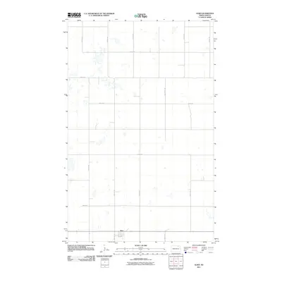
2011 Map of Alsen
USGS Topo · Published 2011About this map
Alsen serves as the primary focal point of this Cavalier County landscape, situated at the junction of 4th Ave in the southern portion of the survey. The surrounding terrain is defined by a rigorous section-line grid of rural roads, including 89th Ave Ne and 91st St Ne, which delineate the agricultural tracts typical of North Dakota's prairie country. Numerous small, unnamed wetlands and prairie potholes are scattered across the quadrants, particularly north of 90th St Ne, indicating a landscape that remains vital for regional hydrology. The organization of the road network, from 85th St Ne at the southern boundary to the northern reaches, reflects the enduring spatial logic of the Public Land Survey System as it existed in the early 21st century.
Find a feature on this map
13 named features on this map. Tap any name to fly to it.
Don’t see what you’re looking for? This feature index may not catch every label — zoom into the map to look around manually.
Map Details
Editions of this 2011 Alsen Map
This is the sole edition of this map. No revisions or reprints were ever made.
Other maps of this area

1953 · Devils Lake
USGS Topo · 1:250,000

1956 · Devils Lake
USGS Topo · 1:250,000

1970 · Alsen
USGS Topo · 1:24,000

1970 · Sarles SE
USGS Topo · 1:24,000

1970 · Hannah SW
USGS Topo · 1:24,000

1970 · Loma
USGS Topo · 1:24,000

1970 · Alsen SE
USGS Topo · 1:24,000

1970 · Hannah SE
USGS Topo · 1:24,000

1970 · Hampden
USGS Topo · 1:24,000

1970 · Munich
USGS Topo · 1:24,000