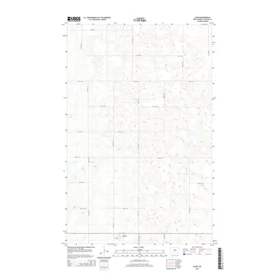
2014 Map of Alsen
USGS Topo · Published 2014About this map
Alsen serves as the primary hub of this rural landscape in Cavalier County, situated at the junction of 4th Ave and several major section-line roads. The area is defined by its characteristic prairie pothole topography, with numerous small depressions and seasonal water bodies scattered across the agricultural grid. This 2014 survey documents the enduring layout of the region's transport network, including 91st St Ne and 89th Ave Ne, which provide access to the expansive farmsteads of the north-central plains. The mapping of routes like 92nd St Ne and 85th St Ne highlights the precise geometry of the township-and-range system that has organized this part of North Dakota since initial settlement. For genealogists and researchers, the map provides a contemporary view of the land parcels and rural intersections that define the surroundings of this small northern community.
Find a feature on this map
16 named features on this map. Tap any name to fly to it.
Don’t see what you’re looking for? This feature index may not catch every label — zoom into the map to look around manually.
Map Details
Editions of this 2014 Alsen Map
This is the sole edition of this map. No revisions or reprints were ever made.
Other maps of this area

1953 · Devils Lake
USGS Topo · 1:250,000

1956 · Devils Lake
USGS Topo · 1:250,000

1970 · Alsen
USGS Topo · 1:24,000

1970 · Sarles SE
USGS Topo · 1:24,000

1970 · Hannah SW
USGS Topo · 1:24,000

1970 · Loma
USGS Topo · 1:24,000

1970 · Alsen SE
USGS Topo · 1:24,000

1970 · Hannah SE
USGS Topo · 1:24,000

1970 · Hampden
USGS Topo · 1:24,000

1970 · Munich
USGS Topo · 1:24,000