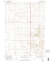
1969 Map of Alsen
USGS Topo · Published 1971About this map
Alsen and the rural townships of Garfield, Emmet, and Prairie Center define this agricultural landscape during the late 1960s. The map captures a critical transition in South Dakota's transportation history, centered on the Alsen Interchange, where a modern dual-lane highway bisects the traditional township grids. Despite this modern infrastructure, the community's mid-century rural fabric remains dense with local-interest landmarks, including several country schoolhouses like Newdale Sch and Cleveland Sch, alongside the Rockfield Cem and Roseni Ch.
Find a feature on this map
26 named features on this map. Tap any name to fly to it.
Don’t see what you’re looking for? This feature index may not catch every label — zoom into the map to look around manually.
Map Details
Editions of this 1969 Alsen Map
2 editions found
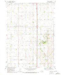
Other maps of this area

1897 · Canton
USGS Topo · 1:125,000

1898 · Elk Point
USGS Topo · 1:125,000

1900 · Canton
USGS Topo · 1:125,000

1901 · Elk Point
USGS Topo · 1:125,000

1907 · Elk Point
USGS Topo · 1:125,000

1955 · Sioux City
USGS Topo · 1:250,000

1955 · Sioux Falls
USGS Topo · 1:250,000

1958 · Sioux City
USGS Topo · 1:250,000

1958 · Sioux Falls
USGS Topo · 1:250,000

1959 · Sioux City
USGS Topo · 1:250,000