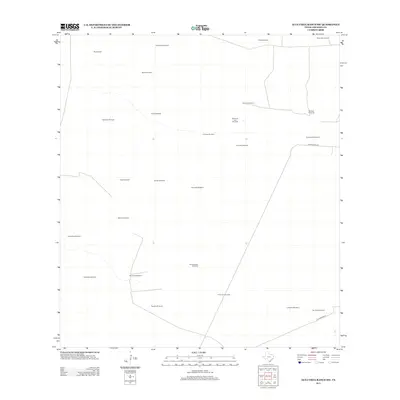
2013 Map of Alta Vista Ranch SW
USGS Topo · Published 2013About this map
Windmills define the landscape of this corner of South Texas in the early 21st century. The density of these structures across Jim Hogg County indicates a terrain shaped by the search for water and the needs of livestock in a semi-arid environment. Named ranching landmarks like Kaffie Ranch Rd and La Lumbrita Rd serve as the primary transit veins through a region where family or locality names are attached to nearly every water source. This 2013 survey shows the distribution of sites such as Pita Windmill, San Rafael Windmill, and Cabeza de Toro Windmill, providing a clear record of the rural infrastructure maintained by modern-day ranching operations. The naming conventions of these windmills often reflect the cultural heritage of the area, anchoring genealogical and historical research to specific points on the map.
Find a feature on this map
27 named features on this map. Tap any name to fly to it.
Don’t see what you’re looking for? This feature index may not catch every label — zoom into the map to look around manually.
Map Details
Editions of this 2013 Alta Vista Ranch SW Map
This is the sole edition of this map. No revisions or reprints were ever made.
Other maps of this area

1938 · Agua Nueva
USGS Topo · 1:62,500

1938 · Cuevitas
USGS Topo · 1:62,500

1939 · Randado
USGS Topo · 1:62,500

1940 · Randado
USGS Topo · 1:62,500

1949 · Mc Allen
USGS Topo · 1:250,000

1954 · McAllen
USGS Topo · 1:250,000

1956 · Laredo
USGS Topo · 1:250,000

1957 · Mc Allen
USGS Topo · 1:250,000

1962 · McAllen
USGS Topo · 1:250,000

1972 · Armstrong Ranch
USGS Topo · 1:24,000