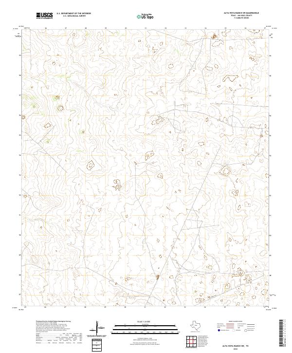
2022 Map of Alta Vista Ranch SW
USGS Topo · Published 2022About this map
La Lumbrita Rd provides the primary navigation through this southern Jim Hogg County landscape, reflecting the long-standing ranching traditions of South Texas. The terrain is defined by subtle elevation shifts and winding drainage patterns that suggest the intermittent waterflow characteristic of the brush country. This 2022 survey captures a largely undeveloped area where property boundaries and isolated tracks represent the modern footprint of historical land grants. The absence of concentrated settlements highlights the scale of private landholdings in this region, where the network of unpaved paths and local connectors remains essential for ranch management and regional access.
Find a feature on this map
1 named feature on this map. Tap any name to fly to it.
Don’t see what you’re looking for? This feature index may not catch every label — zoom into the map to look around manually.
Map Details
Editions of this 2022 Alta Vista Ranch SW Map
This is the sole edition of this map. No revisions or reprints were ever made.
Other maps of this area

1938 · Agua Nueva
USGS Topo · 1:62,500

1938 · Cuevitas
USGS Topo · 1:62,500

1939 · Randado
USGS Topo · 1:62,500

1940 · Randado
USGS Topo · 1:62,500

1949 · Mc Allen
USGS Topo · 1:250,000

1954 · McAllen
USGS Topo · 1:250,000

1956 · Laredo
USGS Topo · 1:250,000

1957 · Mc Allen
USGS Topo · 1:250,000

1962 · McAllen
USGS Topo · 1:250,000

1972 · Armstrong Ranch
USGS Topo · 1:24,000