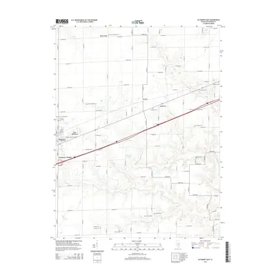
2015 Map of Altamont East
USGS Topo · Published 2015About this map
Altamont and its eastern residential developments, East Meadows and Southmore Heights, serve as the primary focus in this 2015 U.S. Geological Survey representation of Effingham County. The landscape is characterized by a high density of rural burial grounds that speak to the area’s denominational history, including Saint Paul Lutheran Cem, German Methodist Cem, and Saint Clare Catholic Cem. These sites are scattered across a terrain drained by Coon Cr and Second Cr, providing essential landmarks for genealogists tracing early settlement families.
Find a feature on this map
56 named features on this map. Tap any name to fly to it.
Don’t see what you’re looking for? This feature index may not catch every label — zoom into the map to look around manually.
Map Details
Editions of this 2015 Altamont East Map
This is the sole edition of this map. No revisions or reprints were ever made.
Other maps of this area

1941 · St. Elmo
USGS Topo · 1:62,500

1945 · St. Elmo
USGS Topo · 1:62,500

1945 · Kinmundy
USGS Topo · 1:62,500

1947 · Kinmundy
USGS Topo · 1:62,500

1950 · Effingham
USGS Topo · 1:62,500

1951 · Effingham
USGS Topo · 1:62,500

1956 · Edgewood
USGS Topo · 1:62,500

1958 · Decatur
USGS Topo · 1:250,000

1958 · Belleville
USGS Topo · 1:250,000

1961 · Decatur
USGS Topo · 1:250,000