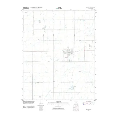
2010 Map of Altamont
USGS Topo · Published 2010About this map
Altamont serves as the central hub of this agricultural landscape in Labette County, defined by a rigid grid of country roads and several significant community landmarks. The town's layout is clearly visible, anchored by the Labette County Fairgrounds and the Altamont Cemetery on its southern edge. This 2010 survey highlights the persistent rural character of the region, where family and community heritage is preserved across numerous burial sites such as Hopewell Cemetery, Vance Cemetery, and Wooden Cemetery. Water management and drainage are central to the terrain, with Deer Creek bisecting the central plains and the Altamont Dam creating a localized reservoir. In the far southwest corner, the Edna Municipal Airport provides a modern transportation link, while the surrounding landscape remains dedicated to the section-line road network that has dictated Kansas land use for generations.
Find a feature on this map
32 named features on this map. Tap any name to fly to it.
Don’t see what you’re looking for? This feature index may not catch every label — zoom into the map to look around manually.
Map Details
Editions of this 2010 Altamont Map
This is the sole edition of this map. No revisions or reprints were ever made.
Other maps of this area

1886 · Parsons
USGS Topo · 1:125,000

1893 · Parsons
USGS Topo · 1:125,000

1943 · McCune
USGS Topo · 1:62,500

1944 · Oswego
USGS Topo · 1:62,500

1945 · Mc Cune
USGS Topo · 1:62,500

1945 · Parsons
USGS Topo · 1:62,500

1946 · Oswego
USGS Topo · 1:48,000

1946 · Parsons
USGS Topo · 1:62,500

1946 · Mound Valley
USGS Topo · 1:62,500

1947 · Parsons
USGS Topo · 1:62,500