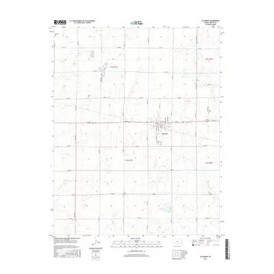
2015 Map of Altamont
USGS Topo · Published 2015About this map
Altamont serves as the central hub for this portion of Labette County, organized around a traditional grid with streets such as Wabash Ave, Illinois Ave, and High School Ave. The surrounding rural landscape is defined by the Section Land Survey System, with an extensive network of named roads like Jackson Rd and Meade Rd framing agricultural tracts. Watercourses including Deer Cr and Richland Cr wind through the township, influencing the placement of several smaller burial sites. For genealogists and local historians, the distribution of rural cemeteries such as Hopewell Cem, Vance Cem, Elston Cem, and Wooden Cem offers significant insight into the historical settlement patterns and family lineages of the region during the early 21st century.
Find a feature on this map
46 named features on this map. Tap any name to fly to it.
Don’t see what you’re looking for? This feature index may not catch every label — zoom into the map to look around manually.
Map Details
Editions of this 2015 Altamont Map
This is the sole edition of this map. No revisions or reprints were ever made.
Other maps of this area

1886 · Parsons
USGS Topo · 1:125,000

1893 · Parsons
USGS Topo · 1:125,000

1943 · McCune
USGS Topo · 1:62,500

1944 · Oswego
USGS Topo · 1:62,500

1945 · Mc Cune
USGS Topo · 1:62,500

1945 · Parsons
USGS Topo · 1:62,500

1946 · Oswego
USGS Topo · 1:48,000

1946 · Parsons
USGS Topo · 1:62,500

1946 · Mound Valley
USGS Topo · 1:62,500

1947 · Parsons
USGS Topo · 1:62,500