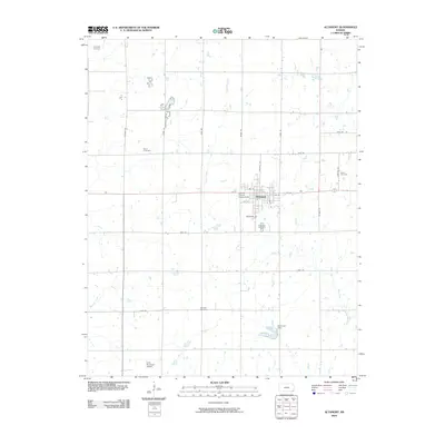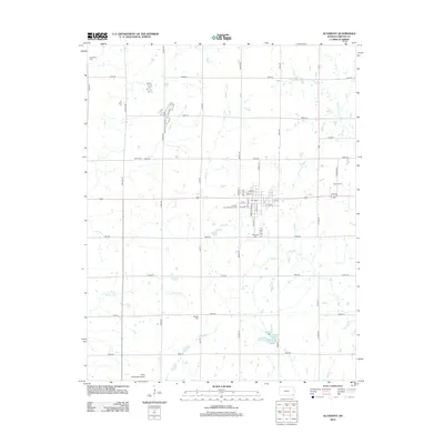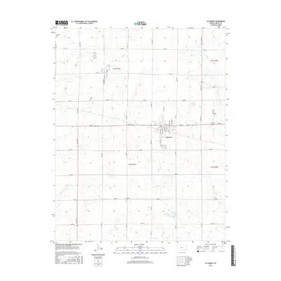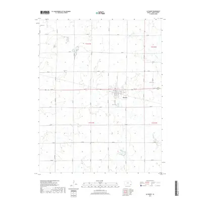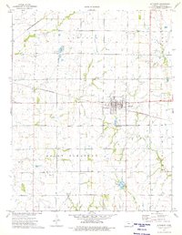
1974 Map of Altamont
USGS Topo · Published 1975About this map
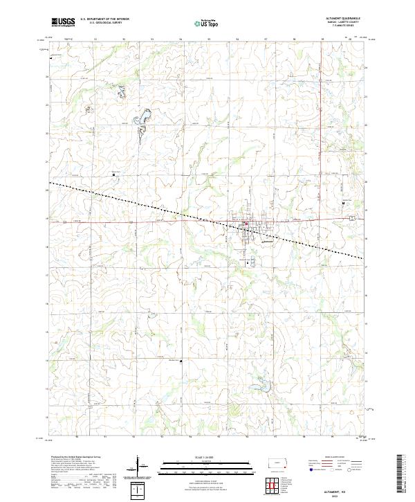
Altamont serves as the central hub of this Labette County landscape in the mid-1970s, where two major rail lines intersect to define the local geography. The St Louis - San Francisco railroad runs east-west through the town, while the Missouri - Kansas - Texas line traverses the northwestern corner of the quadrangle. This transportation network supported a rural economy of small-scale industry and aviation, evidenced by various gravel pits, an oil well, and the Edna Municipal Airport at the southern edge.
Find a feature on this map
20 named features on this map. Tap any name to fly to it.
Don’t see what you’re looking for? This feature index may not catch every label — zoom into the map to look around manually.
Map Details
Editions of this 1974 Altamont Map
This is the sole edition of this map. No revisions or reprints were ever made.
Historical Maps of Altamont Through Time
6 maps found