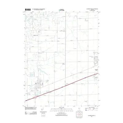
2012 Map of Altamont West
USGS Topo · Published 2012About this map
Saint Elmo serves as the primary hub of this landscape, its grid of streets anchored by Maplewood Cem and the Saint Elmo Old City Reservoir. The surrounding countryside is defined by small agricultural clusters such as Magnolia Corner and various named family farms, including Moll Farms and Diamond A Farms. This area of Effingham County is notably dense with burial grounds that offer significant value for genealogical research, ranging from the Rhodes Family Cem to the Bethlehem Cem near the southern edge.
Find a feature on this map
104 named features on this map. Tap any name to fly to it.
Don’t see what you’re looking for? This feature index may not catch every label — zoom into the map to look around manually.
Map Details
Editions of this 2012 Altamont West Map
This is the sole edition of this map. No revisions or reprints were ever made.
Other maps of this area

1941 · St. Elmo
USGS Topo · 1:62,500

1945 · St. Elmo
USGS Topo · 1:62,500

1945 · Kinmundy
USGS Topo · 1:62,500

1947 · Kinmundy
USGS Topo · 1:62,500

1950 · Effingham
USGS Topo · 1:62,500

1951 · Effingham
USGS Topo · 1:62,500

1956 · Edgewood
USGS Topo · 1:62,500

1958 · Decatur
USGS Topo · 1:250,000

1958 · Belleville
USGS Topo · 1:250,000

1961 · Decatur
USGS Topo · 1:250,000