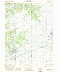
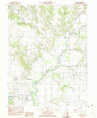
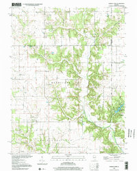
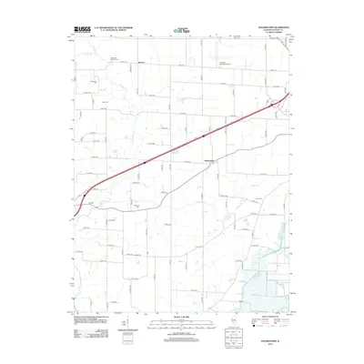
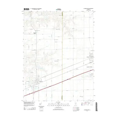
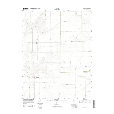
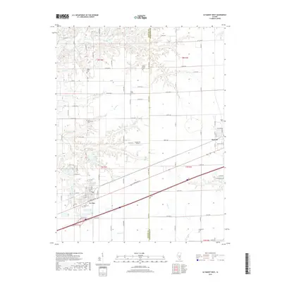
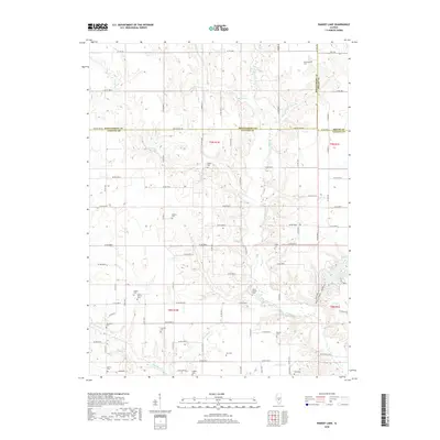
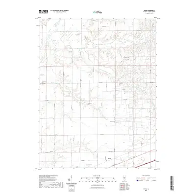
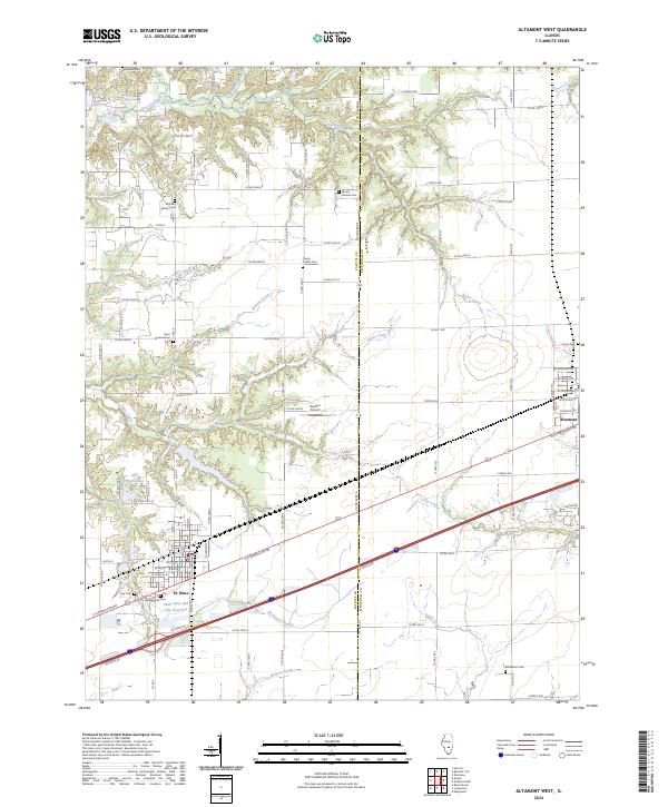
1982 Map of Altamont West
USGS Topo · Published 1982About this map
Saint Elmo serves as a primary hub on this early 1980s landscape, positioned at a significant intersection of the Conrail and Missouri Pacific railroads. The town’s structured grid includes a Jr High Sch and multiple religious sites like St Pauls Ch. To the north, the industrial footprint of Loudon Field is evident, while the rural surroundings are dotted with family and community landmarks such as Magnolia Corner and Watson.
Find a feature on this map
44 named features on this map. Tap any name to fly to it.
Don’t see what you’re looking for? This feature index may not catch every label — zoom into the map to look around manually.
Map Details
Editions of this 1982 Altamont West Map
This is the sole edition of this map. No revisions or reprints were ever made.
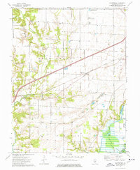
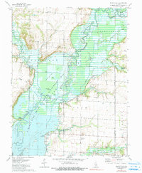
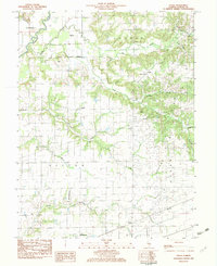
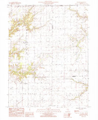
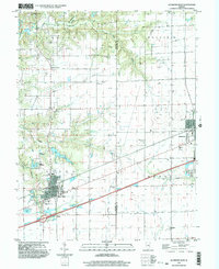
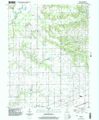
Historical Maps of Altamont Through Time
45 maps found
1974 Hagarstown
Fayette County, IL
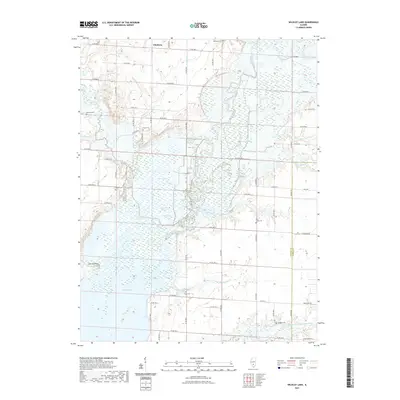
1974 Wildcat Lake
Fayette County, IL
1982 Altamont West
Fayette County, IL
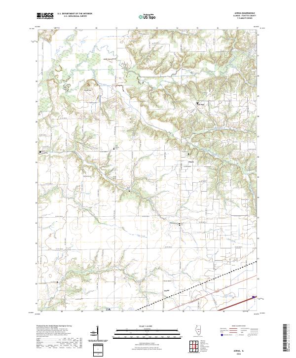
1982 Avena
Fayette County, IL
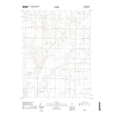
1982 Vera
Fayette County, IL
1985 Loogootee
Fayette County, IL
1998 Altamont West
Fayette County, IL
1998 Avena
Fayette County, IL
1998 Ramsey Lake
Fayette County, IL
1998 Vera
Fayette County, IL
2012 Altamont West
Fayette County, IL
2012 Avena
Fayette County, IL
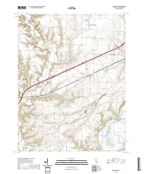
2012 Hagarstown
Fayette County, IL
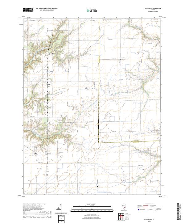
2012 Loogootee
Fayette County, IL
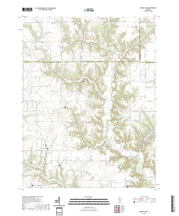
2012 Ramsey Lake
Fayette County, IL
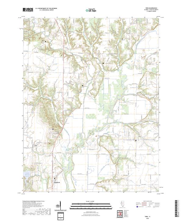
2012 Vera
Fayette County, IL
2012 Wildcat Lake
Fayette County, IL
2015 Altamont West
Fayette County, IL
2015 Avena
Fayette County, IL
2015 Hagarstown
Fayette County, IL
2015 Loogootee
Fayette County, IL
2015 Ramsey Lake
Fayette County, IL
2015 Vera
Fayette County, IL
2015 Wildcat Lake
Fayette County, IL
2018 Altamont West
Fayette County, IL
2018 Avena
Fayette County, IL
2018 Hagarstown
Fayette County, IL
2018 Loogootee
Fayette County, IL
2018 Ramsey Lake
Fayette County, IL
2018 Vera
Fayette County, IL
2018 Wildcat Lake
Fayette County, IL
2021 Altamont West
Fayette County, IL
2021 Avena
Fayette County, IL
2021 Hagarstown
Fayette County, IL
2021 Loogootee
Fayette County, IL
2021 Ramsey Lake
Fayette County, IL
2021 Vera
Fayette County, IL
2021 Wildcat Lake
Fayette County, IL
2024 Altamont West
Fayette County, IL
2024 Avena
Fayette County, IL
2024 Hagarstown
Fayette County, IL
2024 Loogootee
Fayette County, IL
2024 Ramsey Lake
Fayette County, IL
2024 Vera
Fayette County, IL
2024 Wildcat Lake
Fayette County, IL