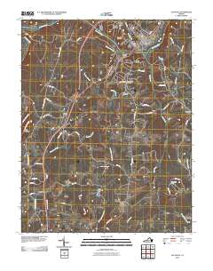
2010 Map of Altavista
USGS Topo · Published 2010About this map
The Roanoke River carves through this portion of Campbell County, serving as the northern boundary for the industrial and residential hub of Altavista. This 2010 survey shows the town's dense neighborhood structure, including Beverly Heights, Forest Hill, and Moseley Heights, positioned near the Altavista Post Office. Just to the south, the town of Hurt is detailed with its own Hurt Post Office and New Prospect Cemetery. The landscape transitions from these developed centers into more rural terrain defined by Jasper Mountain and the waterworks of Bushy Mountain Dam and Burkhardt Dam. Genealogists will find several significant burial sites mapped, such as Green Hill Cemetery and New Bethel Cemetery. The transport network is anchored by several major routes and local corridors like Grit Rd and Wards Rd, which connect outlying settlements such as Motley, Hill Grove, and Sycamore to the river valley centers.
Find a feature on this map
56 named features on this map. Tap any name to fly to it.
Don’t see what you’re looking for? This feature index may not catch every label — zoom into the map to look around manually.
Map Details
Editions of this 2010 Altavista Map
This is the sole edition of this map. No revisions or reprints were ever made.
Other maps of this area

1892 · Lynchburg
USGS Topo · 1:125,000

1921 · Chatham
USGS Topo · 1:48,000

1923 · Chatham
USGS Topo · 1:62,500

1947 · Roanoke
USGS Topo · 1:250,000

1951 · Altavista
USGS Topo · 1:62,500

1953 · Greensboro
USGS Topo · 1:250,000

1954 · Greensboro
USGS Topo · 1:250,000

1954 · Riceville
USGS Topo · 1:62,500

1956 · Gladys
USGS Topo · 1:62,500

1959 · Roanoke
USGS Topo · 1:250,000