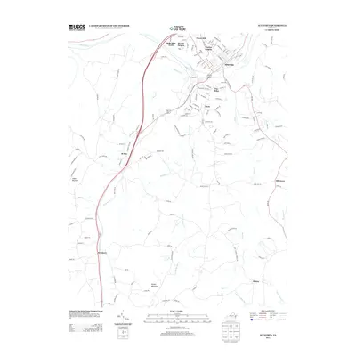
2013 Map of Altavista
USGS Topo · Published 2013About this map
The Roanoke River carves a deep valley between the industrial and residential hubs of Altavista and Hurt, serving as the primary geographic anchor for this 2013 survey. The settlement pattern reveals the expansion of Altavista through named neighborhoods like Moseley Heights, Forest Hill, and Beverly Heights, while the southern reaches transition into the more rural character of Sycamore and Motley.
Find a feature on this map
141 named features on this map. Tap any name to fly to it.
Don’t see what you’re looking for? This feature index may not catch every label — zoom into the map to look around manually.
Map Details
Editions of this 2013 Altavista Map
This is the sole edition of this map. No revisions or reprints were ever made.
Other maps of this area

1892 · Lynchburg
USGS Topo · 1:125,000

1921 · Chatham
USGS Topo · 1:48,000

1923 · Chatham
USGS Topo · 1:62,500

1947 · Roanoke
USGS Topo · 1:250,000

1951 · Altavista
USGS Topo · 1:62,500

1953 · Greensboro
USGS Topo · 1:250,000

1954 · Greensboro
USGS Topo · 1:250,000

1954 · Riceville
USGS Topo · 1:62,500

1956 · Gladys
USGS Topo · 1:62,500

1959 · Roanoke
USGS Topo · 1:250,000