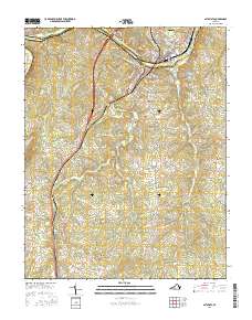
2016 Map of Altavista
USGS Topo · Published 2016About this map
The Roanoke River carves a path through the heart of this landscape, separating Altavista in Campbell County from the southern reaches of Pittsylvania County. This region is defined by its industrial and transit infrastructure, where the Southern railroad line parallels the modern corridor of Business 29 and Bypass 29. The town of Hurt sits just south of the river, acting as a gateway to a series of rural communities including Motley, Sycamore, and Hill Grove.
Find a feature on this map
121 named features on this map. Tap any name to fly to it.
Don’t see what you’re looking for? This feature index may not catch every label — zoom into the map to look around manually.
Map Details
Editions of this 2016 Altavista Map
This is the sole edition of this map. No revisions or reprints were ever made.
Other maps of this area

1892 · Lynchburg
USGS Topo · 1:125,000

1921 · Chatham
USGS Topo · 1:48,000

1923 · Chatham
USGS Topo · 1:62,500

1947 · Roanoke
USGS Topo · 1:250,000

1951 · Altavista
USGS Topo · 1:62,500

1953 · Greensboro
USGS Topo · 1:250,000

1954 · Greensboro
USGS Topo · 1:250,000

1954 · Riceville
USGS Topo · 1:62,500

1956 · Gladys
USGS Topo · 1:62,500

1959 · Roanoke
USGS Topo · 1:250,000