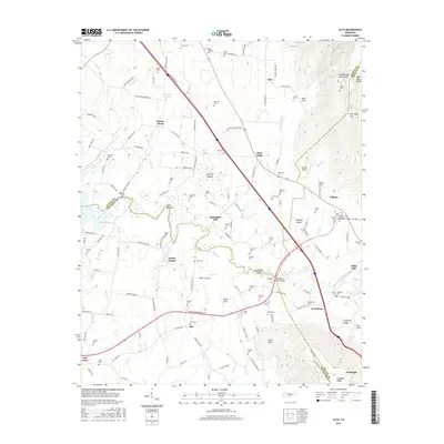
2016 Map of Alto
USGS Topo · Published 2016About this map
The Cumberland Escarpment defines the eastern edge of this landscape, rising sharply above Pelham Valley and the farming communities of the Highland Rim. This 2016 survey documents a region defined by its water and high-relief topography, where the Elk River winds past Bluebell Island and under the Patterson Ford Bridge. The map is particularly dense with genealogical data, marking dozens of small family burial grounds such as Sheid Cem, Sissom Cem, and the Old Baptist Graveyard.
Find a feature on this map
147 named features on this map. Tap any name to fly to it.
Don’t see what you’re looking for? This feature index may not catch every label — zoom into the map to look around manually.
Map Details
Editions of this 2016 Alto Map
This is the sole edition of this map. No revisions or reprints were ever made.
Other maps of this area

1895 · Sewanee
USGS Topo · 1:125,000

1928 · Decherd
USGS Topo · 1:62,500

1936 · Sewanee
USGS Topo · 1:24,000

1936 · Alto
USGS Topo · 1:24,000

1936 · Manchester
USGS Topo · 1:24,000

1936 · Burrow Cove
USGS Topo · 1:24,000

1936 · Monteagle
USGS Topo · 1:24,000

1936 · Winchester
USGS Topo · 1:24,000

1936 · Hillsboro
USGS Topo · 1:24,000

1936 · Capitol Hill
USGS Topo · 1:24,000