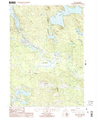
1987 Map of Alton
USGS Topo · Published 1987About this map
The southern tip of Lake Winnipesaukee anchors this 1980s landscape, where the long finger of Alton Bay serves as a gateway to the region’s timberlands and early resort communities. Moving inland, the village of Alton transitions into the conservation lands of the Alton State Forest and the expansive Merrymeeting State Wildlife Management Area. The eastern terrain is defined by significant ridges and water bodies, including Merrymeeting Lake and Birch Ridge, which separate the primary settlements from the rural stretches of New Durham.
Find a feature on this map
44 named features on this map. Tap any name to fly to it.
Don’t see what you’re looking for? This feature index may not catch every label — zoom into the map to look around manually.
Map Details
Editions of this 1987 Alton Map
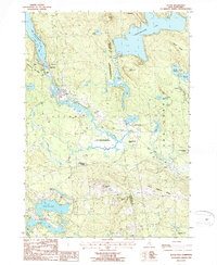
2 editions found
Other maps of this area

1909 · Winnepesaukee
USGS Topo · 1:62,500

1919 · Gilmanton
USGS Topo · 1:62,500

1919 · Alton
USGS Topo · 1:62,500

1927 · Gilmanton
USGS Topo · 1:62,500

1928 · Wolfeboro
USGS Topo · 1:62,500

1949 · Portland
USGS Topo · 1:250,000

1956 · Winnipesaukee
USGS Topo · 1:62,500

1956 · Portland
USGS Topo · 1:250,000

1957 · Alton
USGS Topo · 1:62,500
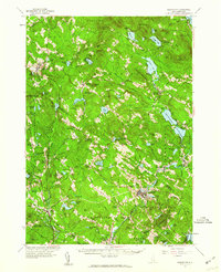
1957 · Gilmanton
USGS Topo · 1:62,500