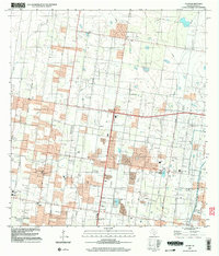
2002 Map of Alton
USGS Topo · Published 2003About this map
Alton and its surrounding communities in Hidalgo County reveal a landscape transitioning through intensive agricultural and energy development. The presence of numerous educational facilities, including Salinas Sch, De La Garza Sch, and Cavasos Sch, suggests a rapidly growing residential population alongside established rural infrastructure. The area is defined by a grid of named thoroughfares such as Homa Road and Sharyland Road, which organize the territory between the settlements of Lahoma and Palmhurst.
Find a feature on this map
36 named features on this map. Tap any name to fly to it.
Don’t see what you’re looking for? This feature index may not catch every label — zoom into the map to look around manually.
Map Details
Editions of this 2002 Alton Map
This is the sole edition of this map. No revisions or reprints were ever made.
Other maps of this area
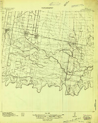
1914 · San Juan
USGS Topo · 1:48,000
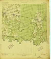
1916 · San Juan
USGS Topo · 1:62,500
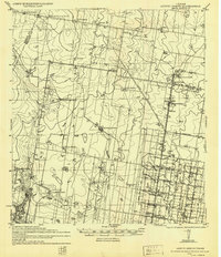
1940 · Monte Christo
USGS Topo · 1:62,500

1949 · Mc Allen
USGS Topo · 1:250,000

1954 · McAllen
USGS Topo · 1:250,000

1957 · Mc Allen
USGS Topo · 1:250,000

1962 · McAllen
USGS Topo · 1:250,000
1963 · Monte Christo
USGS Topo · 1:24,000
1963 · La Joya
USGS Topo · 1:24,000
1963 · Edinburg
USGS Topo · 1:24,000