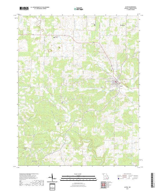
2021 Map of Alton
USGS Topo · Published 2021About this map
The Oregon County Courthouse serves as the central landmark for Alton, Missouri, anchoring a landscape defined by the rugged topography of the Ozarks. This 2021 survey illustrates a region where water and terrain dictate settlement patterns, with narrow hollows like Graham Hollow and Cow Hollow cutting through the uplands. The drainage network is particularly dense here, featuring the headwaters and branches of Frederick Creek and Piney Creek, alongside notable water bodies such as Bennett Lake and Nuwer Lake.
Find a feature on this map
113 named features on this map. Tap any name to fly to it.
Don’t see what you’re looking for? This feature index may not catch every label — zoom into the map to look around manually.
Map Details
Editions of this 2021 Alton Map
This is the sole edition of this map. No revisions or reprints were ever made.
Other maps of this area

1931 · Bandyville
USGS Topo · 1:48,000

1943 · Thayer
USGS Topo · 1:62,500

1944 · Couch
USGS Topo · 1:62,500

1944 · Birch Tree
USGS Topo · 1:62,500

1945 · Montier
USGS Topo · 1:62,500

1946 · Thayer
USGS Topo · 1:62,500

1946 · Couch
USGS Topo · 1:62,500

1948 · Montier
USGS Topo · 1:62,500

1948 · Birch Tree
USGS Topo · 1:62,500

1957 · Poplar Bluff
USGS Topo · 1:250,000