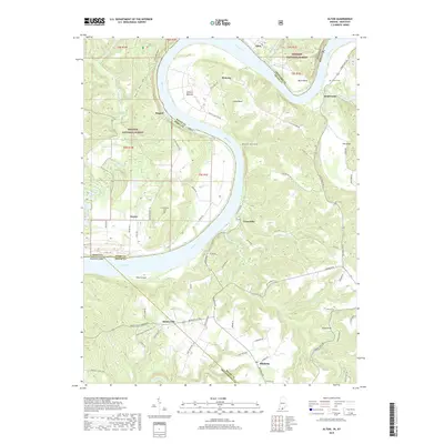
2022 Map of Alton
USGS Topo · Published 2022About this map
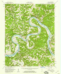
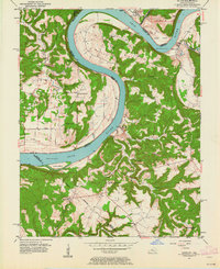
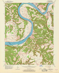
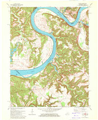
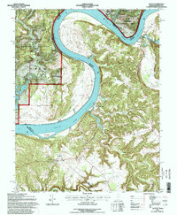
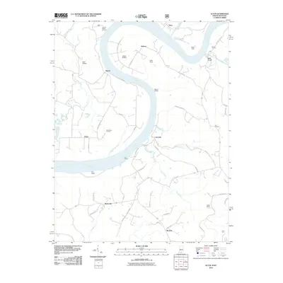
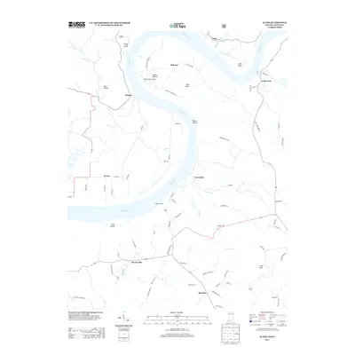
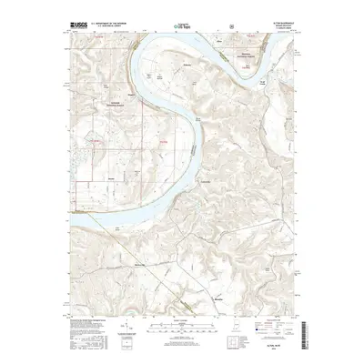
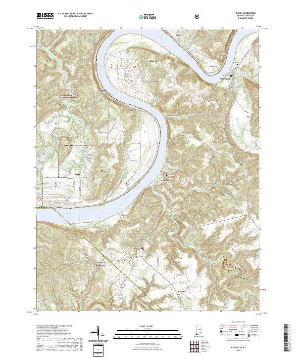
The Ohio River carves a dramatic oxbow through this borderland, creating the prominent Little Bend and surrounding fertile lowlands like Willets Bottom. This geography dictated the placement of historic riverfront settlements such as Alton, Magnet, and Concordia, where the landscape transitions from the high bluffs of the Hoosier National Forest down to the water's edge. The map captures a transition between the dense wooded uplands of Indiana and the rolling agricultural terrain of Kentucky, where smaller communities like Rhodelia and Mooleyville are connected by a network of winding country roads.
Find a feature on this map
86 named features on this map. Tap any name to fly to it.
Don’t see what you’re looking for? This feature index may not catch every label — zoom into the map to look around manually.
Map Details
Editions of this 2022 Alton Map
This is the sole edition of this map. No revisions or reprints were ever made.
Historical Maps of Alton Through Time
10 maps found