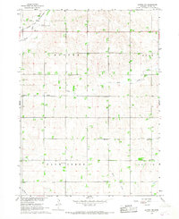
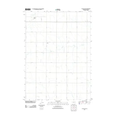
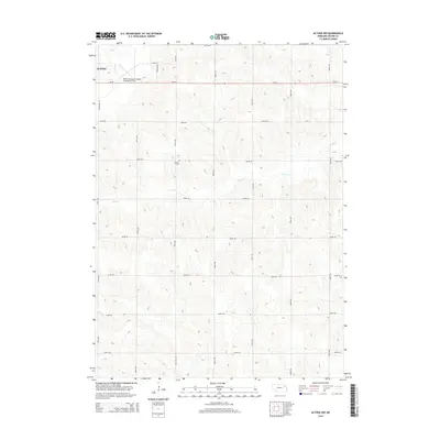
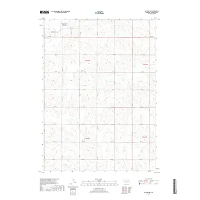
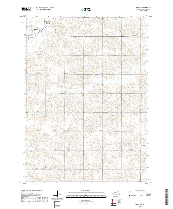
1966 Map of Altona NW
USGS Topo · Published 1967About this map
The rural townships of Hunter, Logan, Plum Creek, and Leslie form the heart of this Wayne County landscape. Drained by the winding courses of South Logan Creek, Coon Creek, and Kane Creek, the region is defined by a dense network of early rural education, evidenced by numerous numbered schoolhouses such as School No 10 and School No 34 that dotted the countryside before mid-century consolidation. The infrastructure of the era is anchored by the Chicago and North Western railroad corridor and the Wayne Municipal Airport in the northwest corner.
Find a feature on this map
23 named features on this map. Tap any name to fly to it.
Don’t see what you’re looking for? This feature index may not catch every label — zoom into the map to look around manually.
Map Details
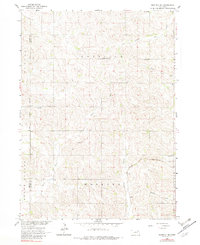
Editions of this 1966 Altona NW Map
This is the sole edition of this map. No revisions or reprints were ever made.
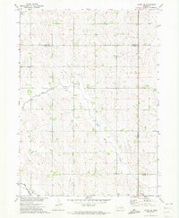
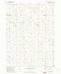
Historical Maps of Wayne Through Time
20 maps found
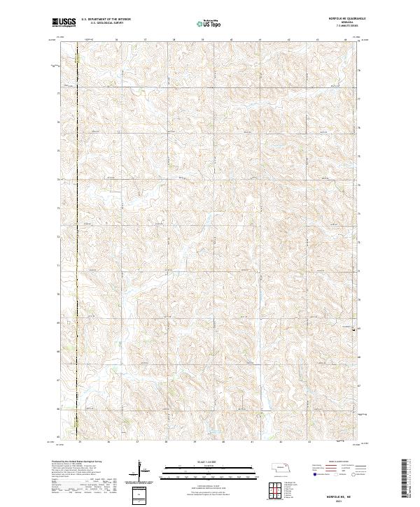
1963 Norfolk NE
Wayne County, NE
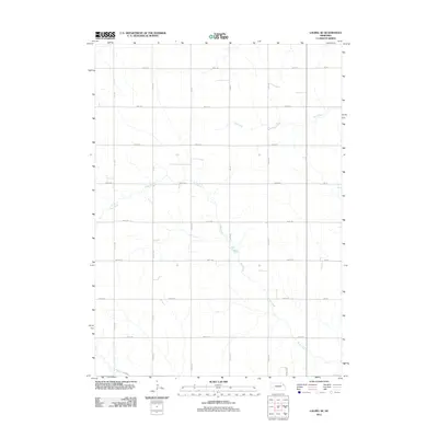
1966 Altona NW
Wayne County, NE
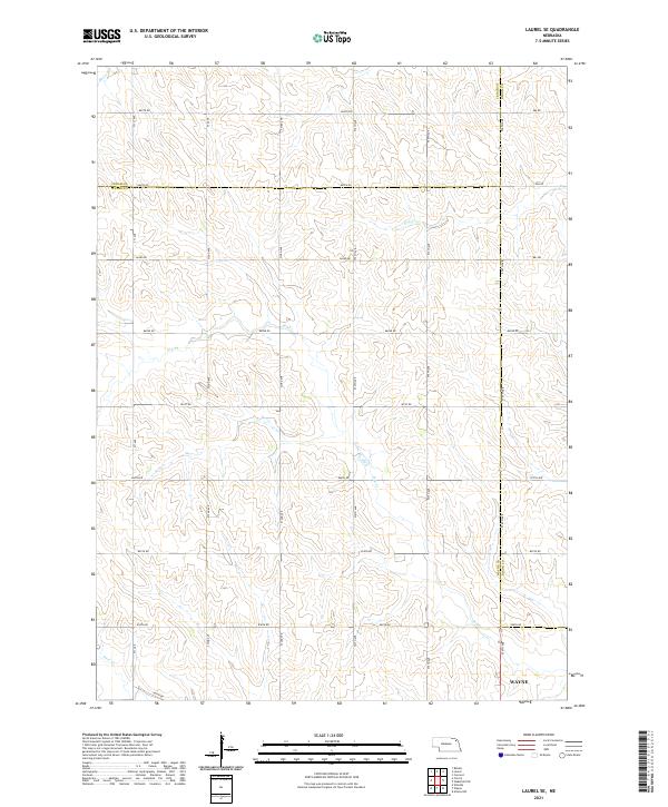
1971 Laurel SE
Wayne County, NE
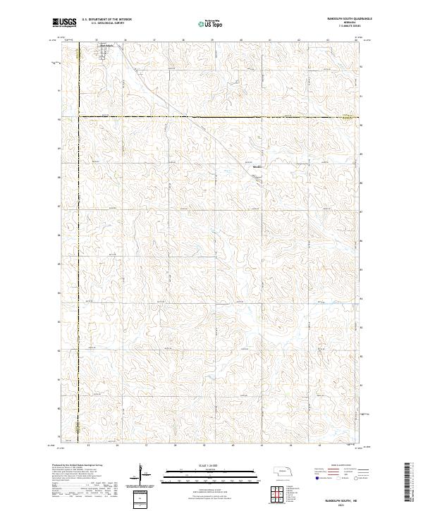
1971 Randolph South
Wayne County, NE
2011 Altona NW
Wayne County, NE
2011 Laurel SE
Wayne County, NE
2011 Norfolk NE
Wayne County, NE
2011 Randolph South
Wayne County, NE
2014 Altona NW
Wayne County, NE
2014 Laurel SE
Wayne County, NE
2014 Norfolk NE
Wayne County, NE
2014 Randolph South
Wayne County, NE
2017 Altona NW
Wayne County, NE
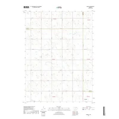
2017 Laurel SE
Wayne County, NE
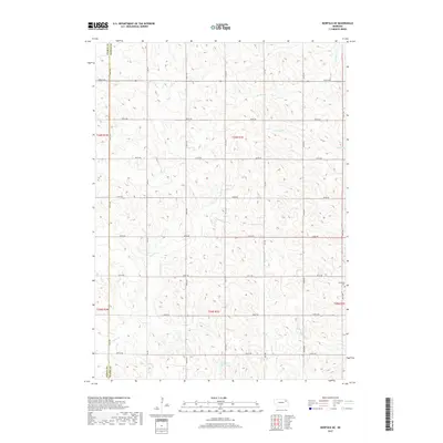
2017 Norfolk NE
Wayne County, NE
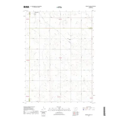
2017 Randolph South
Wayne County, NE
2021 Altona NW
Wayne County, NE
2021 Laurel SE
Wayne County, NE
2021 Norfolk NE
Wayne County, NE
2021 Randolph South
Wayne County, NE