
1971 Map of Randolph South
USGS Topo · Published 1973About this map
Sholes sits near the heart of this agricultural landscape in Northeast Nebraska, serving as a focal point for the surrounding rural sections. The terrain is defined by the drainages of Dog Creek and Deer Creek, which carve through the undulating plains between the borders of Cedar, Wayne, and Pierce counties. This 1971 survey highlights the shifting transport infrastructure of the era, most notably the presence of an Old Railroad Grade running southeast toward the county line, marking a former path of commerce that once connected these prairie settlements.
Find a feature on this map
11 named features on this map. Tap any name to fly to it.
Don’t see what you’re looking for? This feature index may not catch every label — zoom into the map to look around manually.
Map Details
Editions of this 1971 Randolph South Map
This is the sole edition of this map. No revisions or reprints were ever made.
Other maps of this area

1955 · Sioux City
USGS Topo · 1:250,000

1958 · Sioux City
USGS Topo · 1:250,000

1959 · Sioux City
USGS Topo · 1:250,000

1963 · Winside
USGS Topo · 1:24,000

1963 · Wee Town
USGS Topo · 1:24,000

1963 · Norfolk NE
USGS Topo · 1:24,000

1971 · Belden
USGS Topo · 1:24,000

1971 · Randolph North
USGS Topo · 1:24,000
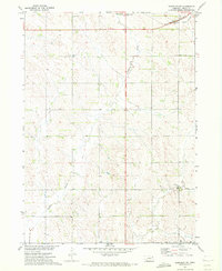
1971 · Randolph SW
USGS Topo · 1:24,000
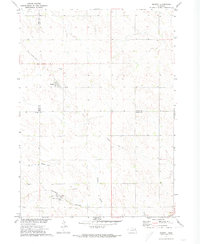
1971 · Magnet
USGS Topo · 1:24,000