Old Maps of Wayne County, Nebraska
Explore 80 old maps of Wayne County, spanning from 1955 to today. These high-resolution historic maps reveal how streets, neighborhoods, landmarks, and natural features evolved over time — perfect for genealogy, metal detecting, research, and local history exploration.
What you can do with these maps:
- See how Wayne County changed over time: Compare historical maps to modern-day views to trace roads, homesites, rail lines & more.
- View detailed metadata: Each map includes creators, publishers, year, scale, and archive source.
- Overlay maps with satellite & LiDAR: Visualize the past alongside modern tools to explore terrain & human change.
- Trusted historical sources: Maps sourced from the USGS, Library of Congress, and other archives.
- Access maps your way: View online, download high-res files, or order prints for personal or research use.
Start exploring old maps of Wayne County to uncover forgotten places, hidden landmarks, and the deep history beneath your feet.
Wayne County, NE maps
(80)- 1955 Map of Sioux City, 1959 Print
 1955 Sioux City1959 Print · USGSThe Missouri River valley in the mid-fifties is captured here during a time of major engineering and social transition. Genealogists and historians can trace the foundations of Gavins Point Dam, tribal boundaries on the Santee Sioux Indian Reservation, and local landmarks like the Norfolk State Hospital.4 unique versions available
 - 1958 Map of Sioux City
 1958 Sioux City1958 Print · USGSThe Missouri River valley in the late fifties was a bustling intersection of tribal lands, rail corridors, and river towns. Genealogists can trace family roots through specific rural sites like Daisy Valley School, St Johns Church and School, and Yankton State Hospital.
 - 1959 Map of Sioux City
 1959 Sioux City1959 Print · USGSThe tri-state region surrounding the Missouri River is captured here in the late fifties, showing the convergence of Nebraska, South Dakota, and Iowa. Researchers can trace rural lineages through numerous country schoolhouses like Cemetery School and the many numbered Washington School districts.
 - 1963 Map of Hoskins, 1964 Print
 1963 Hoskins1964 Print · USGSWayne and Stanton County farmsteads and rural school districts are captured here in the early 1960s. Genealogists can trace family locations near landmarks like Trinity Cem, Peace Ch, and several historic school sites including School No 10.2 unique versions available
 - 1963 Map of Pilger, 1964 Print
 1963 Pilger1964 Print · USGSIn the early sixties, the Elkhorn River valley around Stanton County was a landscape of rail-served villages and a dense network of country school districts. Genealogists and local historians can trace the exact locations of School No 43, School No 7, and the Pilger Cem, alongside the Chicago and North Western rail corridor.
 - 1963 Map of Wayne SW, 1964 Print
 1963 Wayne SW1964 Print · USGSNortheast Nebraska farmland during the early sixties is shown here as a network of rural schools and small creek drainages. Researchers can locate the settlement of Spurville and trace ancestral sites like Bethlehem Cem or School No 23.
 - 1963 Map of Altona, 1964 Print
 1963 Altona1964 Print · USGSCuming and Wayne Counties in the early sixties reveal a landscape of disciplined prairie farming and local school districts. Researchers can trace the legacy of early settlers at the Norwegian Cem and locate many rural schoolhouses, from School No 32 to School No 17.
 - 1963 Map of Winside, 1964 Print
 1963 Winside1964 Print · USGSWayne County agriculture and rail transport intersect in the early sixties near the village of Winside. Genealogists and researchers can trace local landmarks like Pleasantview Cemetery, School No 62, and the Chicago and North Western rail line.
 - 1963 Map of Norfolk NE, 1964 Print
 1963 Norfolk NE1964 Print · USGSThe rural border of Pierce and Wayne Counties is shown in the early sixties as a thriving network of prairie farms and townships. Researchers can locate community anchors like Swedish Cemetery, Zion Church, and the Chicago and North Western rail line.2 unique versions available
 - 1963 Map of Wayne, 1964 Print
 1963 Wayne1964 Print · USGSWayne and its surrounding townships are shown in the early sixties, centered on the State Teachers College. Researchers can trace the Chicago and North Western line and find rural landmarks like Theophilus Ch or School No 88.
 - 1966 Map of Altona NW, 1967 Print
 1966 Altona NW1967 Print · USGSAgricultural Wayne County is captured in the mid-1960s as a landscape of rural school districts and winding creeks. Genealogists can trace family landmarks like La Porte Cem, St Pauls Ch, and numerous schoolhouses from School No 47 to School No 64.
 - 1966 Map of Altona SE, 1968 Print
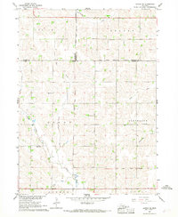 1966 Altona SE1968 Print · USGSNortheast Nebraska in the mid-1960s shows a landscape defined by township lines and tribal boundaries across Wayne and Cuming counties. Genealogists can trace rural family sites near St Peters Ch and historic one-room schoolhouses like School No 4 and School No 66.
 - 1966 Map of Altona NE, 1968 Print
 1966 Altona NE1968 Print · USGSThurston and Wayne County farmsteads and tribal lands are meticulously mapped in the mid-sixties as the local hydrology was being reshaped. Genealogists can locate family landmarks like Pleasant Valley Cem and McQuistan Sch alongside the path of the Chicago and North Western rail line.
 - 1967 Map of Wakefield SW, 1969 Print
 1967 Wakefield SW1969 Print · USGSDixon and Wayne Counties were defined by a robust rail-and-water network in the late sixties. Genealogists and local historians can locate rural landmarks like Cozy Nest Sch, Immanuel Ch, and the Wakefield Cem along Logan Creek.
 - 1967 Map of Wakefield, 1969 Print
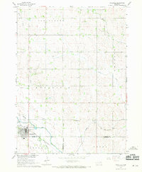 1967 Wakefield1969 Print · USGSWakefield and the surrounding farm townships were at a transition point in the late 1960s as railroad and water infrastructure shifted. Researchers can trace the Chicago and North Western rail line and the Indian Reservation Boundary near Logan Creek.
 - 1971 Map of Randolph South, 1973 Print
 1971 Randolph South1973 Print · USGSIn the early 1970s, this area of Northeast Nebraska was a landscape of structured farmsteads and shifting rail history. Researchers can trace the Old Railroad Grade near Sholes or locate rural family landmarks like Bethany Ch and Zion Ch.
 - 1971 Map of Laurel SE, 1973 Print
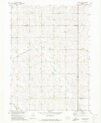 1971 Laurel SE1973 Print · USGSThe tri-county boundary of Wayne, Cedar, and Dixon counties is shown in the early 1970s, capturing a traditional Nebraska farming landscape. Researchers can trace the Old RR Grade and locate rural landmarks like Mount Hope Cem and Sunny Slope Sch.
 - 1971 Map of Carroll, 1973 Print
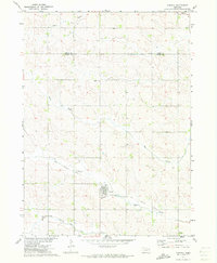 1971 Carroll1973 Print · USGSThe town of Carroll and the surrounding farmland of Wayne and Cedar Counties are captured here in the early 1970s. Local researchers can trace the path of the Old Deer Railroad Grade and locate landmarks like Elmwood Cem and the Sunshine Sch.
 - 1985 Map of Norfolk, 1986 Print
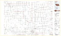 1985 Norfolk1986 Print · USGSNortheast Nebraska in the mid-eighties shows a landscape shaped by the Elkhorn River and established rail corridors. Trace the growth of towns like Norfolk and Wayne, locating institutional landmarks such as Wayne State College and Norfolk Regional Center.2 unique versions available
 - 1986 Map of Sioux City South
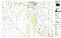 1986 Sioux City South1986 Print · USGSThe tri-state borderlands of Iowa, Nebraska, and South Dakota come into focus in the mid-1980s as a landscape of tribal lands and rail corridors. Researchers can trace the extensive boundaries of the Winnebago Indian Reservation and find local landmarks like Morningside College and Martin Field.2 unique versions available
 - 2011 Map of Altona NE, 2011 Print
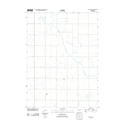 2011 Altona NE2011 Print · USGSThurston County’s agricultural landscape is captured here in the early twenty-first century, showing the precise intersection of rural section roads and local waterways. Genealogists and historians can locate the Pleasant Valley Cemetery or trace the engineered path of the Logan Creek Dredge.
 - 2011 Map of Altona SE, 2011 Print
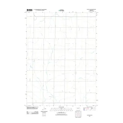 2011 Altona SE2011 Print · USGSThurston County agriculture is captured in this early twenty-first-century survey of the Nebraska plains. Genealogists and local historians can trace the rural grid and watercourses such as Rattlesnake Creek, Plum Creek, and Dry Ditch.
 - 2011 Map of Wakefield SW, 2011 Print
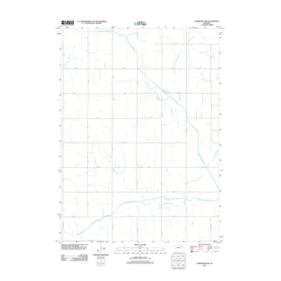 2011 Wakefield SW2011 Print · USGSAgricultural lands southwest of Wakefield are shown in the early twenty-first century, revealing a landscape defined by an orderly section-line road network. Genealogists and researchers can trace rural property access along Centennial Rd and map the hydrologic path of the Logan Creek Dredge and South Logan Creek.
 - 2011 Map of Wakefield, 2011 Print
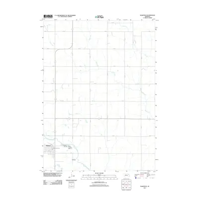 2011 Wakefield2011 Print · USGSWakefield and its surrounding Nebraska farmlands are captured in this early 21st-century survey. Genealogists and local historians can trace the town grid and landmarks like the Wakefield Post Office, the Logan Valley Golf Course, and Logan Creek Dredge.
 - 2011 Map of Altona NW, 2011 Print
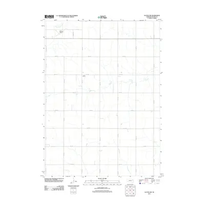 2011 Altona NW2011 Print · USGSWayne County agricultural lands and the outskirts of Wayne are captured here in the early 2010s. Genealogists and local historians can locate the LaPorte Cemetery or trace the rural drainage of Coon Creek and South Logan Creek.
Showing maps 1-25 of 80
Top cities of Wayne County
- Wayne historical maps
- Winside historical maps
- Hoskins historical maps
- Carroll historical maps
- Sholes historical maps
Frequently asked questions
- What are the different types of historical maps available for Wayne County?
- What is the oldest map of Wayne County?
- Where can I purchase historical maps of Wayne County for my home or office?
- Where can I download high-res historical maps of Wayne County?
- Are there historical topographic maps available for Wayne County?
- Is there historical aerial imagery available for Wayne County?
- Where are historical maps of Wayne County sourced from?