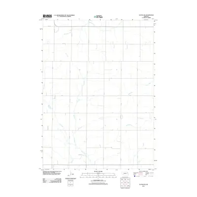
2011 Map of Altona SE
USGS Topo · Published 2011About this map
Rattlesnake Creek and Plum Creek define the hydrology of this corner of Thurston County, where the landscape is organized by a strict section-line grid. This 2011 survey illustrates the agricultural modernization of the Nebraska plains, where seasonal waterways like Dry Creek and Stage Creek are intersected by an extensive network of rural roads such as 848th Rd and 584th Ave.
Find a feature on this map
24 named features on this map. Tap any name to fly to it.
Don’t see what you’re looking for? This feature index may not catch every label — zoom into the map to look around manually.
Map Details
Editions of this 2011 Altona SE Map
This is the sole edition of this map. No revisions or reprints were ever made.
Other maps of this area

1955 · Sioux City
USGS Topo · 1:250,000

1955 · Fremont
USGS Topo · 1:250,000

1957 · Fremont
USGS Topo · 1:250,000

1958 · Sioux City
USGS Topo · 1:250,000

1958 · Fremont
USGS Topo · 1:250,000

1959 · Sioux City
USGS Topo · 1:250,000

1963 · Wisner
USGS Topo · 1:24,000

1963 · Altona
USGS Topo · 1:24,000

1966 · Altona NW
USGS Topo · 1:24,000

1966 · West Point NW
USGS Topo · 1:24,000