2010s Maps of Wayne County, Nebraska
Explore 45 historic maps of Wayne County from the 2010s. These maps offer a rare glimpse into what life looked like during the 2010s — showing old roads, neighborhoods, homes, and landmarks that have changed or disappeared over time.
Whether you're researching your family's past, planning a metal detecting trip, or studying how Wayne County's landscape evolved across the 2010s, these high-resolution maps are a powerful tool for exploring the history of this region.
- Focus on a specific era: All maps on this page are from the 2010s, giving you a focused view of this time period.
- See what’s changed: Compare century-old streets, trails, and buildings to today's modern landscape using overlays and satellite layers.
- Research with precision: Use these maps for genealogy, historical research, land use analysis, or educational projects.
- View, download, or print: Maps are fully viewable online in high resolution, and can be downloaded or printed for your own records.
Start exploring Wayne County's history through authentic maps from the 2010s. This is your window into the past.
Wayne County, NE maps
(45)- 2011 Map of Altona NE, 2011 Print
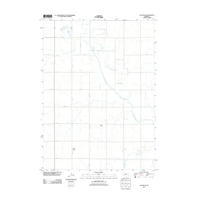 2011 Altona NE2011 Print · USGSThurston County’s agricultural landscape is captured here in the early twenty-first century, showing the precise intersection of rural section roads and local waterways. Genealogists and historians can locate the Pleasant Valley Cemetery or trace the engineered path of the Logan Creek Dredge.
 - 2011 Map of Altona SE, 2011 Print
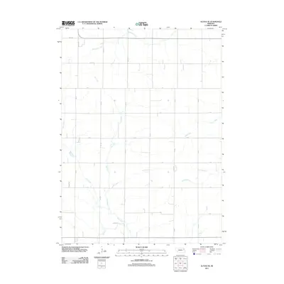 2011 Altona SE2011 Print · USGSThurston County agriculture is captured in this early twenty-first-century survey of the Nebraska plains. Genealogists and local historians can trace the rural grid and watercourses such as Rattlesnake Creek, Plum Creek, and Dry Ditch.
 - 2011 Map of Wakefield SW, 2011 Print
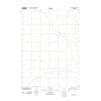 2011 Wakefield SW2011 Print · USGSAgricultural lands southwest of Wakefield are shown in the early twenty-first century, revealing a landscape defined by an orderly section-line road network. Genealogists and researchers can trace rural property access along Centennial Rd and map the hydrologic path of the Logan Creek Dredge and South Logan Creek.
 - 2011 Map of Wakefield, 2011 Print
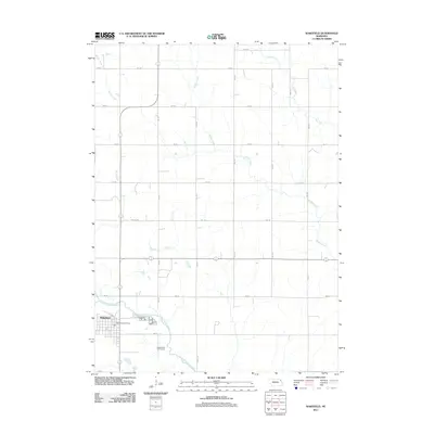 2011 Wakefield2011 Print · USGSWakefield and its surrounding Nebraska farmlands are captured in this early 21st-century survey. Genealogists and local historians can trace the town grid and landmarks like the Wakefield Post Office, the Logan Valley Golf Course, and Logan Creek Dredge.
 - 2011 Map of Altona NW, 2011 Print
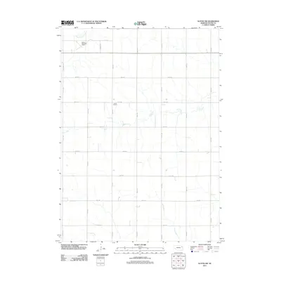 2011 Altona NW2011 Print · USGSWayne County agricultural lands and the outskirts of Wayne are captured here in the early 2010s. Genealogists and local historians can locate the LaPorte Cemetery or trace the rural drainage of Coon Creek and South Logan Creek.
 - 2011 Map of Altona, 2011 Print
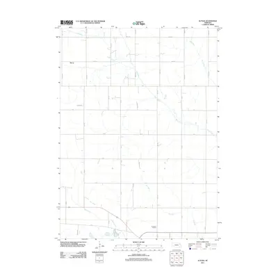 2011 Altona2011 Print · USGSAltona and the surrounding Cuming County farmland are mapped here during the early twenty-first century. Researchers can locate the Norwegian Cemetery and trace the paths of Plum Creek and Dry Ditch across this highly organized agricultural grid.
 - 2011 Map of Pilger, 2011 Print
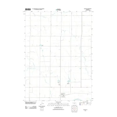 2011 Pilger2011 Print · USGSStanton County farmland surrounds the village of Pilger during this 2011 survey, prior to the major environmental changes that would later affect the town. Genealogists and local historians can locate the Pilger Cemetery and trace the paths of the Elkhorn River and Humbug Creek.
 - 2011 Map of Hoskins, 2011 Print
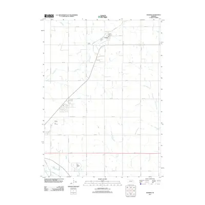 2011 Hoskins2011 Print · USGSThe village of Hoskins and its surrounding farmstead grid are captured here in the early twenty-first century. Genealogists and local historians can trace family locations through Trinity Cemetery, Zion Cemetery, and the Hoskins Post Office.
 - 2011 Map of Norfolk NE, 2011 Print
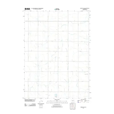 2011 Norfolk NE2011 Print · USGSPierce County farm country is captured here during the early twenty-first century, showing the enduring grid of the Nebraska plains. Genealogists and local historians can locate Immanuel Cemetery or trace water features like South Logan Creek and Scheurich Reservoir.
 - 2011 Map of Randolph South, 2011 Print
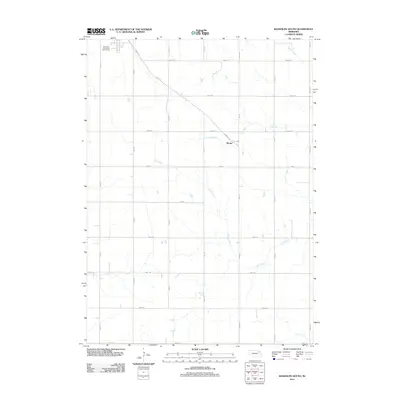 2011 Randolph South2011 Print · USGSCedar County at the start of the 2010s shows a landscape defined by the intersection of rural townships and winding creek beds. Genealogists and local historians can trace the vicinity of Sholes and the drainages of Deer Creek and Dog Creek.
 - 2011 Map of Winside, 2011 Print
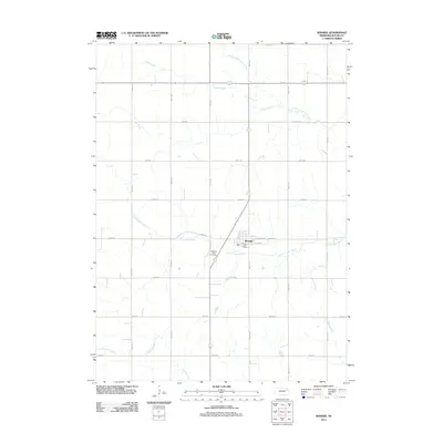 2011 Winside2011 Print · USGSThe village of Winside in Wayne County is captured during the early 2010s, showing a well-ordered agricultural landscape. Genealogists and local historians can locate the Pleasant View Cemetery and the Winside Post Office alongside waterways like South Logan Creek.
 - 2011 Map of Laurel SE, 2011 Print
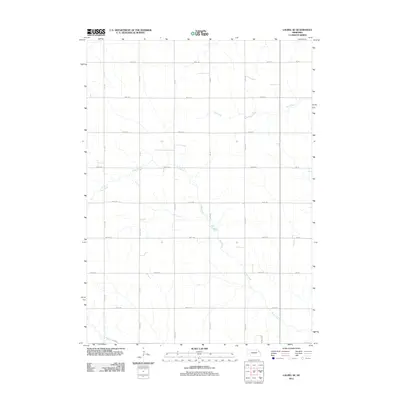 2011 Laurel SE2011 Print · USGSWayne County is shown as a meticulously gridded agricultural landscape at the beginning of the twenty-first century. Researchers can trace rural property boundaries along 865th Rd and the natural course of Dog Creek or Dry Creek.
 - 2011 Map of Wayne, 2011 Print
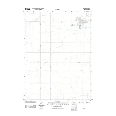 2011 Wayne2011 Print · USGSWayne stands as a vibrant Nebraska county seat in the early twenty-first century, surrounded by a productive landscape of creek-carved prairie. Family historians can locate Greenwood Cemetery and trace the paths of South Logan Creek or Coon Creek across the township.
 - 2011 Map of Wayne SW, 2011 Print
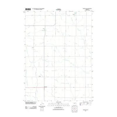 2011 Wayne SW2011 Print · USGSSpurville and the agricultural heartland of Stanton County are documented here during the early twenty-first century. Researchers can locate family heritage sites like Bega Cemetery and Bethlehem Cemetery or trace water resources such as Dangberg Reservoir and Humbug Creek.
 - 2011 Map of Carroll, 2011 Print
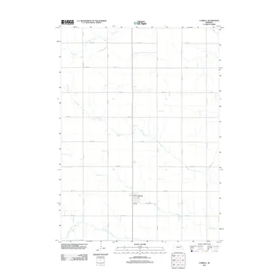 2011 Carroll2011 Print · USGSCarroll and its surrounding agricultural township are captured here in the early twenty-first century. Researchers can locate Elmwood Cemetery and trace the paths of Dog Creek and Deer Creek as they wind through the section-line road grid.
 - 2014 Map of Randolph South, 2014 Print
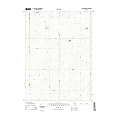 2014 Randolph South2014 Print · USGSNortheast Nebraska farmland is captured in the 2010s as the town of Randolph transitions into a vast rural grid. Researchers can trace land divisions near the settlement of Sholes or follow the paths of Dog Cr and Deer Cr across three counties.
 - 2014 Map of Laurel SE, 2014 Print
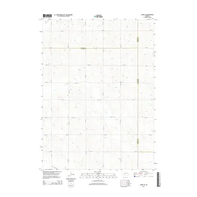 2014 Laurel SE2014 Print · USGSNortheast Nebraska's agricultural heartland is captured here at the turn of the decade, where the borders of Wayne, Cedar, and Dixon counties converge. Researchers can trace the rural road network and the natural drainage of Dog Creek, Dry Creek, and Baker Creek.
 - 2014 Map of Carroll, 2014 Print
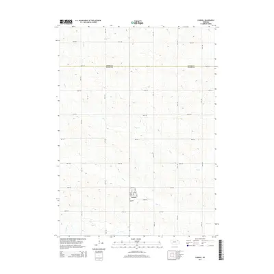 2014 Carroll2014 Print · USGSThe village of Carroll and its surrounding farmsteads are captured here during a period of modern agricultural stability along the Wayne and Cedar county border. Genealogists can locate Elmwood Cemetery and trace the drainage patterns of Deer Creek and Dog Creek.
 - 2014 Map of Wayne SW, 2014 Print
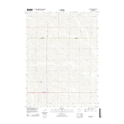 2014 Wayne SW2014 Print · USGSSpurville and the fertile plains of Stanton and Wayne counties are captured here in the early twenty-first century. Genealogists can trace family footprints at Bethlehem Cemetery and Bega Cemetery or follow the paths of Humbug Creek.
 - 2014 Map of Altona NE, 2014 Print
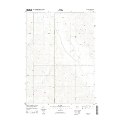 2014 Altona NE2014 Print · USGSThe borderlands of Wayne and Thurston Counties come into focus during the early twenty-first century, showing a landscape defined by industrial drainage. Genealogists and researchers can locate the Pleasant Valley Cem or trace the path of the Logan Creek Dredge.
 - 2014 Map of Wayne, 2014 Print
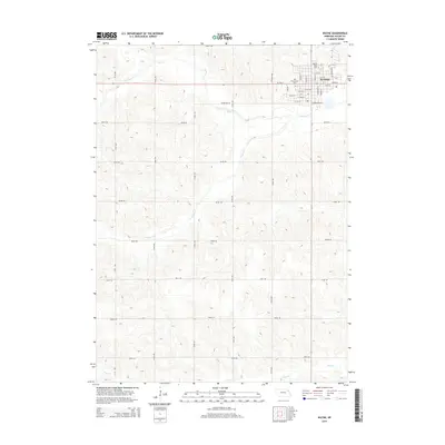 2014 Wayne2014 Print · USGSWayne County in the early twenty-first century is defined by the growing campus of Wayne State College and the surrounding agricultural grid. Researchers can trace local heritage at Greenwood Cemetery or follow the paths of South Logan Creek and Coon Creek.
 - 2014 Map of Winside, 2014 Print
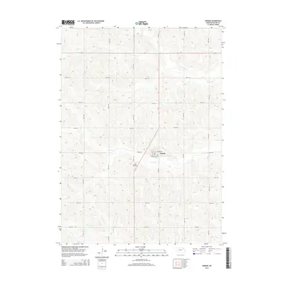 2014 Winside2014 Print · USGSWinside and the surrounding Wayne County prairie are documented here in the early twenty-first century. Genealogists and local historians can trace the town’s street layout and locate the Pleasant View Cem near the banks of S Logan Cr.
 - 2014 Map of Altona NW, 2014 Print
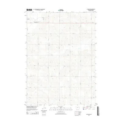 2014 Altona NW2014 Print · USGSWayne County agriculture and rural aviation are captured here during the early twenty-first century. Genealogists and local historians can locate the LaPorte Cem and trace the drainage of S Logan Cr near the Wayne city limits.
 - 2014 Map of Wakefield SW, 2014 Print
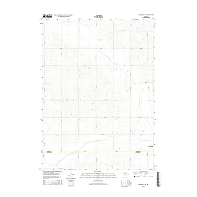 2014 Wakefield SW2014 Print · USGSNortheast Nebraska farmland near the boundary of Dixon and Wayne counties is shown here in the early twenty-first century. Genealogists and local historians can trace the modified path of South Logan Creek and the long reach of the Logan Creek Dredge through the rural grid.
 - 2014 Map of Altona, 2014 Print
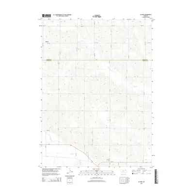 2014 Altona2014 Print · USGSThe rural borderlands between Wayne and Cuming counties are shown here in the early twenty-first century, dominated by a strict section-line road grid and local creek beds. Genealogists and researchers can locate the Norwegian Cem and trace the paths of Plum Cr and Sand Cr near Altona.
Showing maps 1-25 of 45
Top cities of Wayne County
- Wayne historical maps
- Winside historical maps
- Hoskins historical maps
- Carroll historical maps
- Sholes historical maps
Frequently asked questions
- What are the different types of historical maps available for Wayne County?
- What is the oldest map of Wayne County?
- Where can I purchase historical maps of Wayne County for my home or office?
- Where can I download high-res historical maps of Wayne County?
- Are there historical topographic maps available for Wayne County?
- Is there historical aerial imagery available for Wayne County?
- Where are historical maps of Wayne County sourced from?