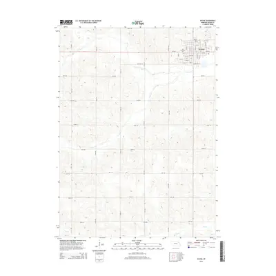
2014 Map of Wayne
USGS Topo · Published 2014About this map
The campus of Wayne State College anchors the northern edge of Wayne, defining the community's layout where residential streets meet the agricultural grid of Wayne County. The town is organized around a systematic grid of named thoroughfares including Logan Street, Nebraska Street, and Providence Road. To the west of the college, Greenwood Cemetery serves as a significant local landmark, situated just north of West 7th Street.
Find a feature on this map
41 named features on this map. Tap any name to fly to it.
Don’t see what you’re looking for? This feature index may not catch every label — zoom into the map to look around manually.
Map Details
Editions of this 2014 Wayne Map
This is the sole edition of this map. No revisions or reprints were ever made.
Other maps of this area

1955 · Sioux City
USGS Topo · 1:250,000

1958 · Sioux City
USGS Topo · 1:250,000

1959 · Sioux City
USGS Topo · 1:250,000

1963 · Pilger
USGS Topo · 1:24,000

1963 · Wayne SW
USGS Topo · 1:24,000

1963 · Altona
USGS Topo · 1:24,000

1963 · Winside
USGS Topo · 1:24,000

1963 · Wayne
USGS Topo · 1:24,000

1966 · Altona NW
USGS Topo · 1:24,000

1967 · Wakefield SW
USGS Topo · 1:24,000