Loading...
Loading map...2021 Map of Alturas
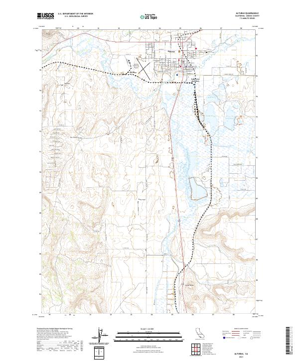
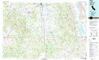
USGS Topo · Published 2021This historical map portrays the area of Alturas in 2021, primarily covering Modoc County. Featuring a scale of 1:24000, this map provides a highly detailed snapshot of the terrain, roads, buildings, counties, and historical landmarks in the Alturas region at the time. Published in 2021, it is the sole known edition of this map.
Map Details
Date Portrayed2021
Date Published2021
PublisherU.S. Geological Survey
Map TypeTopographic
Scale1:24000
Physical Dimensions24 x 29 inches
Editions of this 2021 Alturas Map
This is the sole edition of this map. No revisions or reprints were ever made.
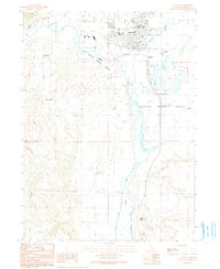
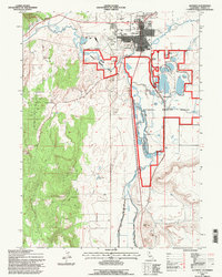
Historical Maps of Alturas Through Time
11 maps found

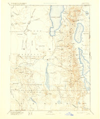
1886 Alturas
Modoc County, CA
1892 Alturas
Modoc County, CA
1954 Alturas
Modoc County, CA

1958 Alturas
Modoc County, CA
1961 Alturas
Modoc County, CA

1962 Alturas
Modoc County, CA

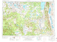
1965 Alturas
Modoc County, CA
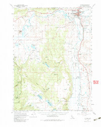
1983 Alturas
Modoc County, CA
1990 Alturas
Modoc County, CA
1993 Alturas
Modoc County, CA
2021 Alturas
Modoc County, CA
Featured Locations
Source Details
SourceU.S. Geological Survey
CopyrightPublic Domain