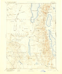
1892 Map of Alturas
USGS Topo · Published 1931About this map
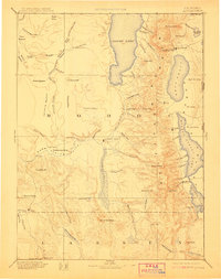
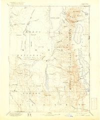
Fort Bidwell and the high desert basins of Northeastern California define this 1892 reconnaissance map, which documents the remote northeast corner of the state before the turn of the century. The terrain is characterized by a series of massive alkaline basins, including the expansive Goose Lake and Upper Alkali Lake, separated by the north-south spine of the Modoc National Forest. This mapping reflects a transition from early military outposts to pioneer settlements, with Old Indian Villages noted in the high plateau near Alturas Hill. Early trade routes and wagon tracks are implied by the spacing of remote settlements like Cedarville and Eagleville along the eastern base of the Warner Mountains. The inclusion of Boyd Hot Spring and Hayden Hill highlights the region's early geothermal and mining interests, while vast grazing lands like Antelope Plains and Fairchild Meadow suggest the burgeoning livestock industry of the era.
Find a feature on this map
93 named features on this map. Tap any name to fly to it.
Don’t see what you’re looking for? This feature index may not catch every label — zoom into the map to look around manually.
Map Details
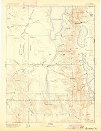
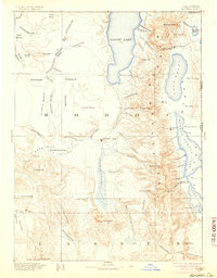
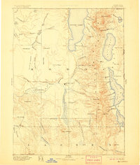
Editions of this 1892 Alturas Map
7 editions found

Other maps of this area

1886 · Alturas
USGS Topo · 1:250,000

1886 · Honey Lake
USGS Topo · 1:250,000

1886 · Lassen Peak
USGS Topo · 1:250,000

1886 · Modoc Lava Bed
USGS Topo · 1:250,000

1886 · Granite Range
USGS Topo · 1:250,000

1889 · Klamath
USGS Topo · 1:250,000

1889 · Long Valley
USGS Topo · 1:250,000

1891 · Honey Lake
USGS Topo · 1:250,000

1892 · Modoc Lava-Bed
USGS Topo · 1:250,000

1892 · Lassen Peak
USGS Topo · 1:250,000