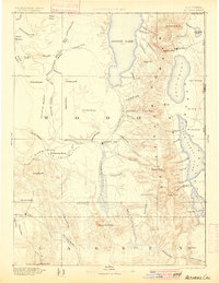
1892 Map of Alturas
USGS Topo · Published 1900About this map
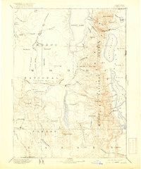
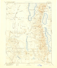
The high desert and mountainous terrain of northeastern California are documented here during a period of frontier settlement. The Warner Mountains divide the landscape, separating the massive Goose Lake from the series of alkali basins to the east, including Middle Alkali Lake and Lower Lake. Early outposts like Fort Bidwell and Cedarville are established along these valley floors, while the presence of Old Indian Villages near the Pit River suggests the long-standing indigenous occupation of the area. The map reveals a land defined by its water sources, from the thermal Boyd Hot Spring to the seasonal expanses of the Antelope Plains. Geographer Henry Gannett directed this reconnaissance, which details the complex drainage patterns of the South Fork Pit River and the numerous meadows like Boles Meadow that supported early ranching and livestock.
Find a feature on this map
89 named features on this map. Tap any name to fly to it.
Don’t see what you’re looking for? This feature index may not catch every label — zoom into the map to look around manually.
Map Details
Editions of this 1892 Alturas Map
7 editions found

Other maps of this area

1886 · Alturas
USGS Topo · 1:250,000

1886 · Honey Lake
USGS Topo · 1:250,000

1886 · Lassen Peak
USGS Topo · 1:250,000

1886 · Modoc Lava Bed
USGS Topo · 1:250,000

1886 · Granite Range
USGS Topo · 1:250,000

1889 · Klamath
USGS Topo · 1:250,000

1889 · Long Valley
USGS Topo · 1:250,000

1891 · Honey Lake
USGS Topo · 1:250,000

1892 · Modoc Lava-Bed
USGS Topo · 1:250,000

1892 · Lassen Peak
USGS Topo · 1:250,000