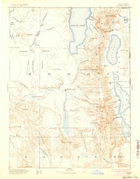
1892 Map of Alturas
USGS Topo · Published 1904About this map
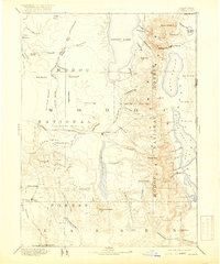
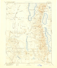
Warner Mountains dominate the central topography of this northeastern California survey, dividing the high desert plateaus from the alkali lake basins to the east. At the turn of the century, this landscape was defined by the transition from the Modoc Lava Bed in the west to the significant water bodies of Goose Lake and the Upper Lake chain. The settlement pattern reveals the strategic importance of military and indigenous sites, including the established Fort Bidwell and marked Old Indian Villages. Economic life centers on the valleys, where the North Fork Pit River and South Fork Pit River converge near Alturas Hill. Remote mining and agricultural outposts like Hayden Hill, Cedarville, and Canby are linked by primitive roads through the Antelope Plains and Ingalls Valley, reflecting the rugged independence of the Modoc frontier during this period.
Find a feature on this map
87 named features on this map. Tap any name to fly to it.
Don’t see what you’re looking for? This feature index may not catch every label — zoom into the map to look around manually.
Map Details
Editions of this 1892 Alturas Map
7 editions found

Other maps of this area

1886 · Alturas
USGS Topo · 1:250,000

1886 · Honey Lake
USGS Topo · 1:250,000

1886 · Lassen Peak
USGS Topo · 1:250,000

1886 · Modoc Lava Bed
USGS Topo · 1:250,000

1886 · Granite Range
USGS Topo · 1:250,000

1889 · Klamath
USGS Topo · 1:250,000

1889 · Long Valley
USGS Topo · 1:250,000

1891 · Honey Lake
USGS Topo · 1:250,000

1892 · Modoc Lava-Bed
USGS Topo · 1:250,000

1892 · Lassen Peak
USGS Topo · 1:250,000