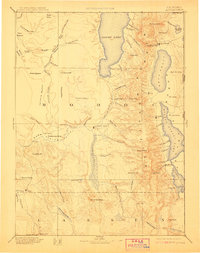
1892 Map of Alturas
USGS Topo · Published 1911About this map
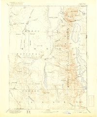
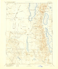
Fort Bidwell and the Warner Mountains dominate the northeastern corner of this late nineteenth-century reconnaissance of the high desert and volcanic plateaus. The landscape is defined by its dramatic seasonal hydrology, where Goose Lake and Upper Lake sit as massive basins against the steep eastern escarpments. This 1892 edition, reprinted two decades later, shows a region transitioning from an outpost frontier to a settled ranching and mining territory. Small agricultural and trade centers such as Cedarville, Eagleville, and Adin are established along the valley floors, while Old Indian Villages are noted in the more remote Ingalls Valley, preserving a record of earlier indigenous habitation sites. To the west, the Pit River Valley and Antelope Plains provide a stark contrast to the high peaks of Eagle Peak and Warren Peak, illustrating the diverse terrain of the Modoc plateau before modern irrigation and land use changes.
Find a feature on this map
94 named features on this map. Tap any name to fly to it.
Don’t see what you’re looking for? This feature index may not catch every label — zoom into the map to look around manually.
Map Details
Editions of this 1892 Alturas Map
7 editions found

Other maps of this area

1886 · Alturas
USGS Topo · 1:250,000

1886 · Honey Lake
USGS Topo · 1:250,000

1886 · Lassen Peak
USGS Topo · 1:250,000

1886 · Modoc Lava Bed
USGS Topo · 1:250,000

1886 · Granite Range
USGS Topo · 1:250,000

1889 · Klamath
USGS Topo · 1:250,000

1889 · Long Valley
USGS Topo · 1:250,000

1891 · Honey Lake
USGS Topo · 1:250,000

1892 · Modoc Lava-Bed
USGS Topo · 1:250,000

1892 · Lassen Peak
USGS Topo · 1:250,000