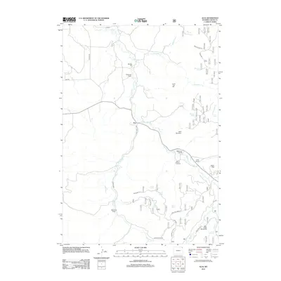
2012 Map of Alva
USGS Topo · Published 2012About this map
The settlement of Alva serves as the focal point of this northern Wyoming landscape, situated along the winding course of Beaver Cr. This 2012 survey illustrates the transition from the valley floor to the elevated terrain of the Bear Lodge Mountains in the southeast. The geography is defined by a network of seasonal water sources and named draws, including Holbrook Draw and Mahoney Draw, which indicate the complex drainage patterns typical of this region.
Find a feature on this map
44 named features on this map. Tap any name to fly to it.
Don’t see what you’re looking for? This feature index may not catch every label — zoom into the map to look around manually.
Map Details
Editions of this 2012 Alva Map
This is the sole edition of this map. No revisions or reprints were ever made.
Other maps of this area

1901 · Aladdin
USGS Topo · 1:125,000

1903 · Aladdin
USGS Topo · 1:125,000

1905 · Devils Tower
USGS Topo · 1:125,000

1954 · Gillette
USGS Topo · 1:250,000

1955 · Devils Tower
USGS Topo · 1:62,500

1955 · Gillette
USGS Topo · 1:250,000

1957 · Mona
USGS Topo · 1:62,500

1957 · Seely
USGS Topo · 1:62,500

1958 · Gillette
USGS Topo · 1:250,000

1962 · Gillette
USGS Topo · 1:250,000