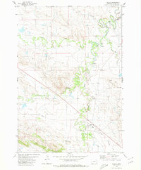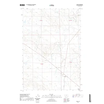
1981 Map of Alzada
USGS Topo · Published 1982About this map
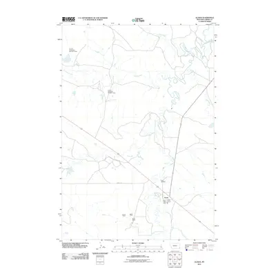
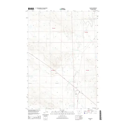
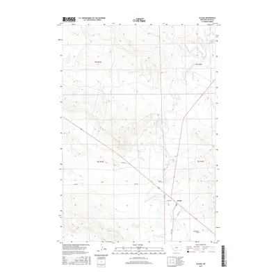
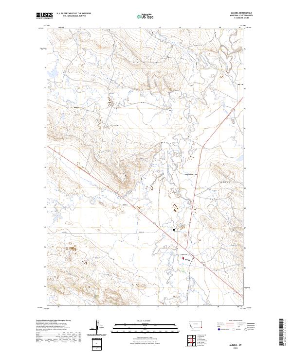
The Missouri River and its numerous tributaries, including Ninemile Creek and Boxelder Creek, dominate this tri-state borderland where Montana, South Dakota, and Wyoming converge. In the early 1980s, the landscape is defined by vast rangelands punctuated by dramatic topographic features like the Flattops, Finger Buttes, and Potato Buttes. Small ranching hubs and outposts such as Alzada, Albion, and Hammond serve as focal points for this sparsely populated region, connected by Highway 212. The presence of Claypits near the southern border and various private Landing Strips and the Sky Ranch illustrate the localized industrial and aviation needs of remote high-plains life. Local water management is evident through features like Cochran Reservoir and Philippi Reservoir, which are vital for livestock in a terrain shaped by deep draws and intermittent creeks.
Find a feature on this map
75 named features on this map. Tap any name to fly to it.
Don’t see what you’re looking for? This feature index may not catch every label — zoom into the map to look around manually.
Map Details
Editions of this 1981 Alzada Map
This is the sole edition of this map. No revisions or reprints were ever made.
Historical Maps of Capitol Through Time
7 maps found